
151 Bus Route Map
View the 151 route map and see all 151 stops along the route. The map of 151 shows where the bus travels and the location of each stop, making it easy to understand the entire route at a glance.
Explore Bus Átha Cliath – Dublin Bus routes on the map and see where Bus Átha Cliath – Dublin Bus bus services operate. Use the 151 map to find bus stops and see how the 151 connects different areas along its trip.
All 151 stops on the map are displayed in route order, helping you follow the 151 bus from the first stop to the last.
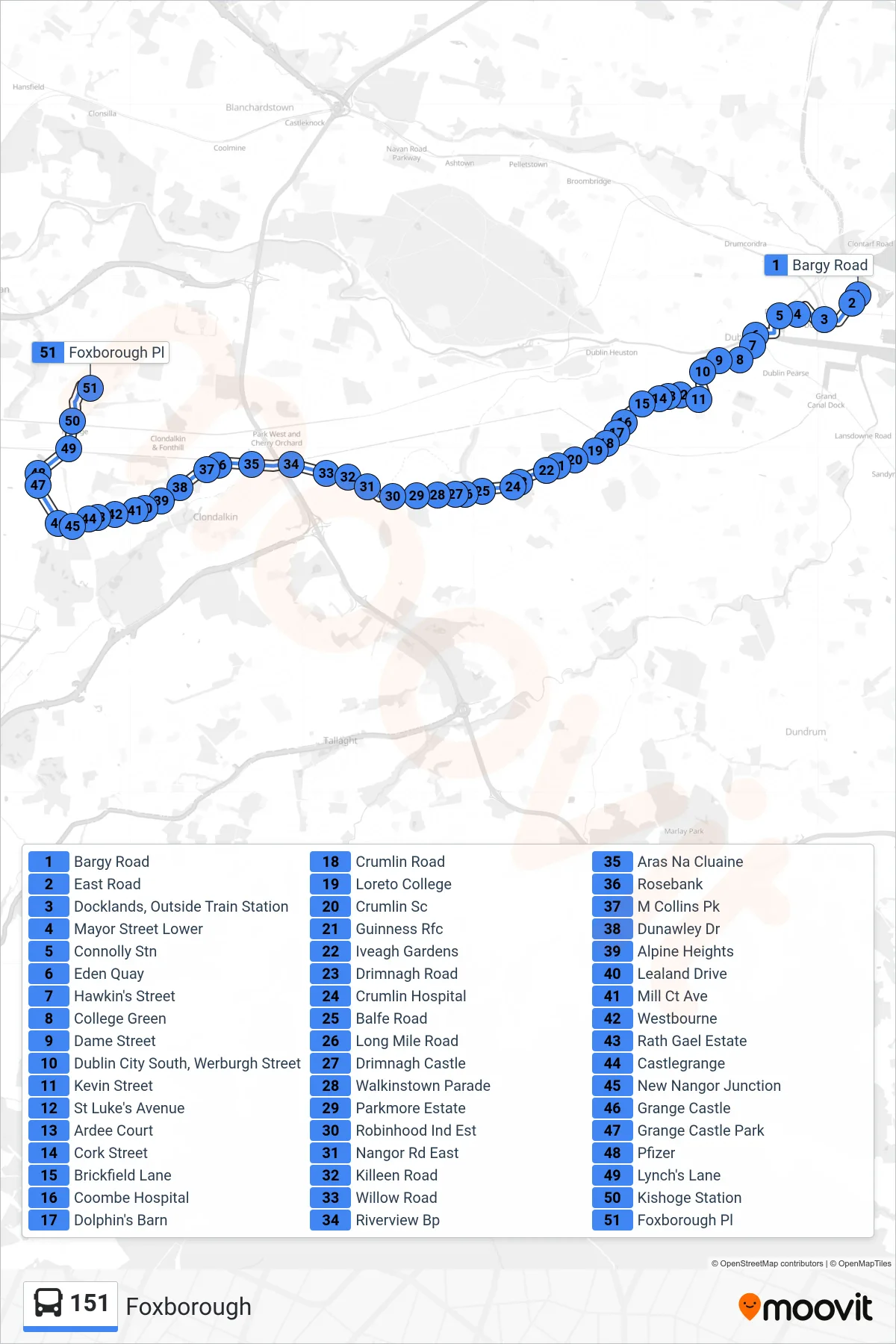
Stops list (151 - Foxborough)
- Bargy Road
- East Road
- Docklands, Outside Train Station
- Mayor Street Lower
- Connolly Stn
- Eden Quay
- Hawkin's Street
- College Green
- Dame Street
- Dublin City South, Werburgh Street
- Kevin Street
- St Luke's Avenue
- Ardee Court
- Cork Street
- Brickfield Lane
- Coombe Hospital
- Dolphin's Barn
- Crumlin Road
- Loreto College
- Crumlin Sc
- Guinness Rfc
- Iveagh Gardens
- Drimnagh Road
- Crumlin Hospital
- Balfe Road
- Long Mile Road
- Drimnagh Castle
- Walkinstown Parade
- Parkmore Estate
- Robinhood Ind Est
- Nangor Rd East
- Killeen Road
- Willow Road
- Riverview Bp
- Aras Na Cluaine
- Rosebank
- M Collins Pk
- Dunawley Dr
- Alpine Heights
- Lealand Drive
- Mill Ct Ave
- Westbourne
- Rath Gael Estate
- Castlegrange
- New Nangor Junction
- Grange Castle
- Grange Castle Park
- Pfizer
- Lynch's Lane
- Kishoge Station
- Foxborough Pl