
16 Cable Car Route Map
View the 16 route map and see all 16 stops along the route. The map of 16 shows where the cable car travels and the location of each stop, making it easy to understand the entire route at a glance.
Explore KP Kyivpastrans routes on the map and see where KP Kyivpastrans cable car services operate. Use the 16 map to find cable car stations and see how the 16 connects different areas along its trip.
All 16 stops on the map are displayed in route order, helping you follow the 16 cable car from the first station to the last.
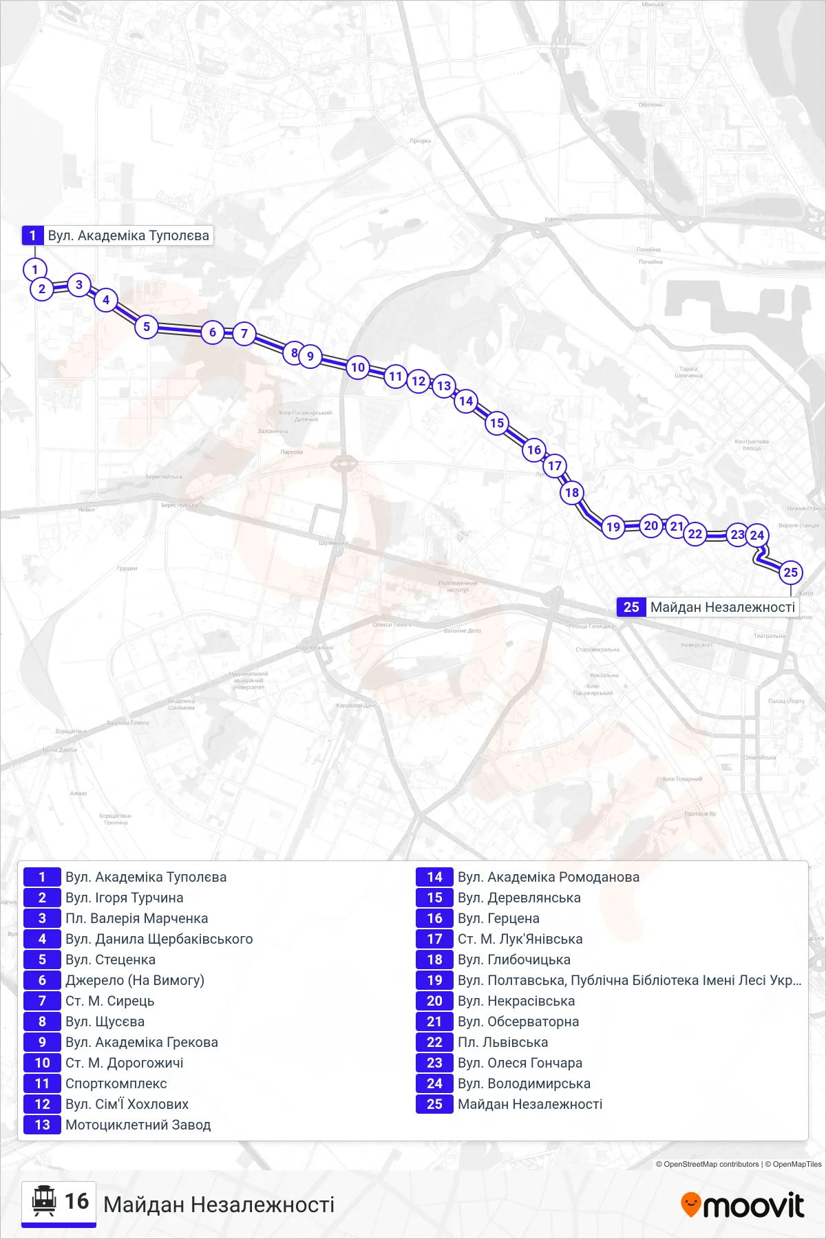
Stops list (16 - Independence Square)
- Academician Tupolev Street
- Igor Turchyn St
- Valerii Marchenko Square
- Danylo Shcherbakivskyi Street
- Stetsenka Street
- Dzherelo (On Demand)
- Syrets Metro Station
- Shchusev Street
- Academician Grekov Street
- Dorohozhychi Metro Station
- Sports Complex
- Sim'i Khokhlovykh Street
- Motorcycle Factory
- Akademika Romodanova St.
- Derevlianska St.
- Herzen Street
- Lukianivska Metro Station
- Hlybochytska Street
- Poltavska Street, Lesia Ukrainka Public Library
- Nekrasivska Street
- Observatory Street
- Lvivska Square
- Oles Honchar Street
- Volodymyrska St
- Independence Square