
160 Bus Route Map
View the 160 route map and see all 160 stops along the route. The map of 160 shows where the bus travels and the location of each stop, making it easy to understand the entire route at a glance.
Explore Bischoff-Touristik GmbH & Co. KG routes on the map and see where Bischoff-Touristik GmbH & Co. KG bus services operate. Use the 160 map to find bus stops and see how the 160 connects different areas along its trip.
All 160 stops on the map are displayed in route order, helping you follow the 160 bus from the first stop to the last.
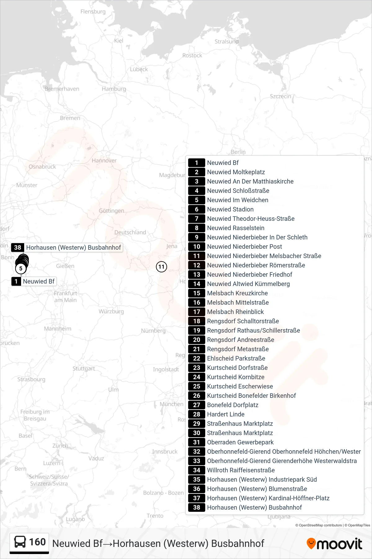
Stops list (160 - Horhausen (Westerw) Busbahnhof)
- Neuwied Bf
- Neuwied Moltkeplatz
- Neuwied An Der Matthiaskirche
- Neuwied Schloßstraße
- Neuwied Im Weidchen
- Neuwied Stadion
- Neuwied Theodor-Heuss-Straße
- Neuwied Rasselstein
- Neuwied Niederbieber In Der Schleth
- Neuwied Niederbieber Post
- Neuwied Niederbieber Melsbacher Straße
- Neuwied Niederbieber Römerstraße
- Neuwied Niederbieber Friedhof
- Neuwied Altwied Kümmelberg
- Melsbach Kreuzkirche
- Melsbach Mittelstraße
- Melsbach Rheinblick
- Rengsdorf Schalltorstraße
- Rengsdorf Rathaus/Schillerstraße
- Rengsdorf Andreestraße
- Rengsdorf Metastraße
- Ehlscheid Parkstraße
- Kurtscheid Dorfstraße
- Kurtscheid Kornbitze
- Kurtscheid Escherwiese
- Kurtscheid Bonefelder Birkenhof
- Bonefeld Dorfplatz
- Hardert Linde
- Straßenhaus Marktplatz
- Straßenhaus Marktplatz
- Oberraden Gewerbepark
- Oberhonnefeld-Gierend Oberhonnefeld Höhchen/Wester
- Oberhonnefeld-Gierend Gierenderhöhe Westerwaldstra
- Willroth Raiffeisenstraße
- Horhausen (Westerw) Industriepark Süd
- Horhausen (Westerw) Blumenstraße
- Horhausen (Westerw) Kardinal-Höffner-Platz
- Horhausen (Westerw) Busbahnhof
Change direction
- Route Map - 160 - Neuwied Bf
- Route Map - 160 - Neuwied Niederbieber Melsbacher Straße
- Route Map - 160 - Rengsdorf Rathaus/Schillerstraße
- Route Map - 160 - Rengsdorf Metastraße
- Route Map - 160 - Neuwied Kraftversorgung
- Route Map - 160 - Straßenhaus Marktplatz
- Route Map - 160 - Neuwied Niederbieber Schulzentrum
- Route Map - 160 - Neuwied Stadion