
17 Bus Route Map
View the 17 route map and see all 17 stops along the route. The map of 17 shows where the bus travels and the location of each stop, making it easy to understand the entire route at a glance.
Explore Nateev Express routes on the map and see where Nateev Express bus services operate. Use the 17 map to find bus stops and see how the 17 connects different areas along its trip.
All 17 stops on the map are displayed in route order, helping you follow the 17 bus from the first stop to the last.
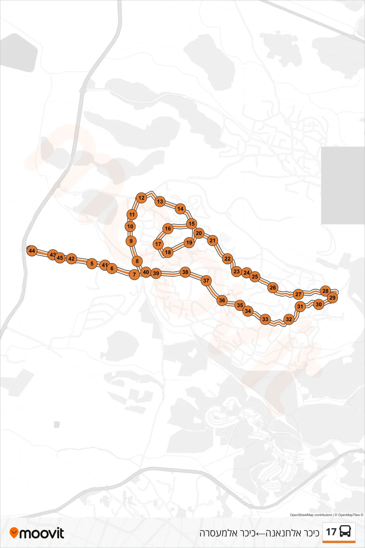
Stops list (17 - Al-Hananah Square→Al-Masara Square)
- Al-Hananah Square
- Al-Masara Square
- Bir Al-Tira Entrance
- Al-Masara Square
- Al-Quds/Old Market
- Al Quds/Bank Leumi
- Clock Tower
- Drijat
- Al-Biruni School
- Al-Ziraiya/Al-Narjes
- Al-Ziraya/Bisan
- Al-Rois/Al-Zraiya
- Khalit Sharif/Entrance
- Al-Sharif School D
- Khalit al-Ghazal
- Al-Noor School
- Fifth Middle School
- Al-Tabaeen
- Fatma Al-Zahraa
- Khalit Al-Sa'aba
- Al-Saba/Al-Malik Suleiman
- Blat Al-Damon
- Al-Rahma Mosque
- Al-Rahma
- Omar ibn al-Khattab
- Al-Salam Mosque
- Uthman ibn Affan/Al Ein
- Garden/Cemetery
- Al-Ein Mosque
- School H
- Al Firuz
- Family Health Center
- Al-Mearaj
- Tamra Municipality
- Post Office
- Health Clinic
- Albik
- Al-Qubba Mosque
- Al-Quds Square
- Al-Quds/Muadh ibn Jabal
- Al-Quds/Clock Square
- Al Quds/Bank Hapoalim
- Al-Hananah Square
- Al-Masara Square
- Bir Al-Tira Entrance
- Al-Masara Square