
17 Light Rail Route Map
View the 17 route map and see all 17 stops along the route. The map of 17 shows where the light rail travels and the location of each stop, making it easy to understand the entire route at a glance.
Explore GVB routes on the map and see where GVB light rail services operate. Use the 17 map to find light rail stations and see how the 17 connects different areas along its trip.
All 17 stops on the map are displayed in route order, helping you follow the 17 light rail from the first station to the last.
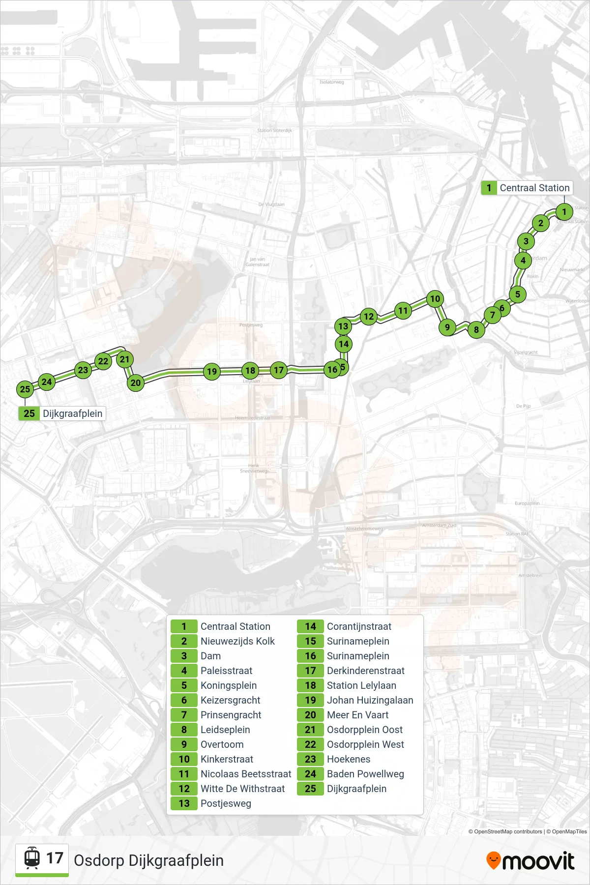
Stops list (17 - Osdorp Dijkgraafplein)
- Centraal Station
- Nieuwezijds Kolk
- Dam
- Paleisstraat
- Koningsplein
- Keizersgracht
- Prinsengracht
- Leidseplein
- Overtoom
- Kinkerstraat
- Nicolaas Beetsstraat
- Witte De Withstraat
- Postjesweg
- Corantijnstraat
- Surinameplein
- Surinameplein
- Derkinderenstraat
- Station Lelylaan
- Johan Huizingalaan
- Meer En Vaart
- Osdorpplein Oost
- Osdorpplein West
- Hoekenes
- Baden Powellweg
- Dijkgraafplein