
18 Bus Route Map
View the 18 route map and see all 18 stops along the route. The map of 18 shows where the bus travels and the location of each stop, making it easy to understand the entire route at a glance.
Explore Capital Metro-Bus routes on the map and see where Capital Metro-Bus bus services operate. Use the 18 map to find bus stops and see how the 18 connects different areas along its trip.
All 18 stops on the map are displayed in route order, helping you follow the 18 bus from the first stop to the last.
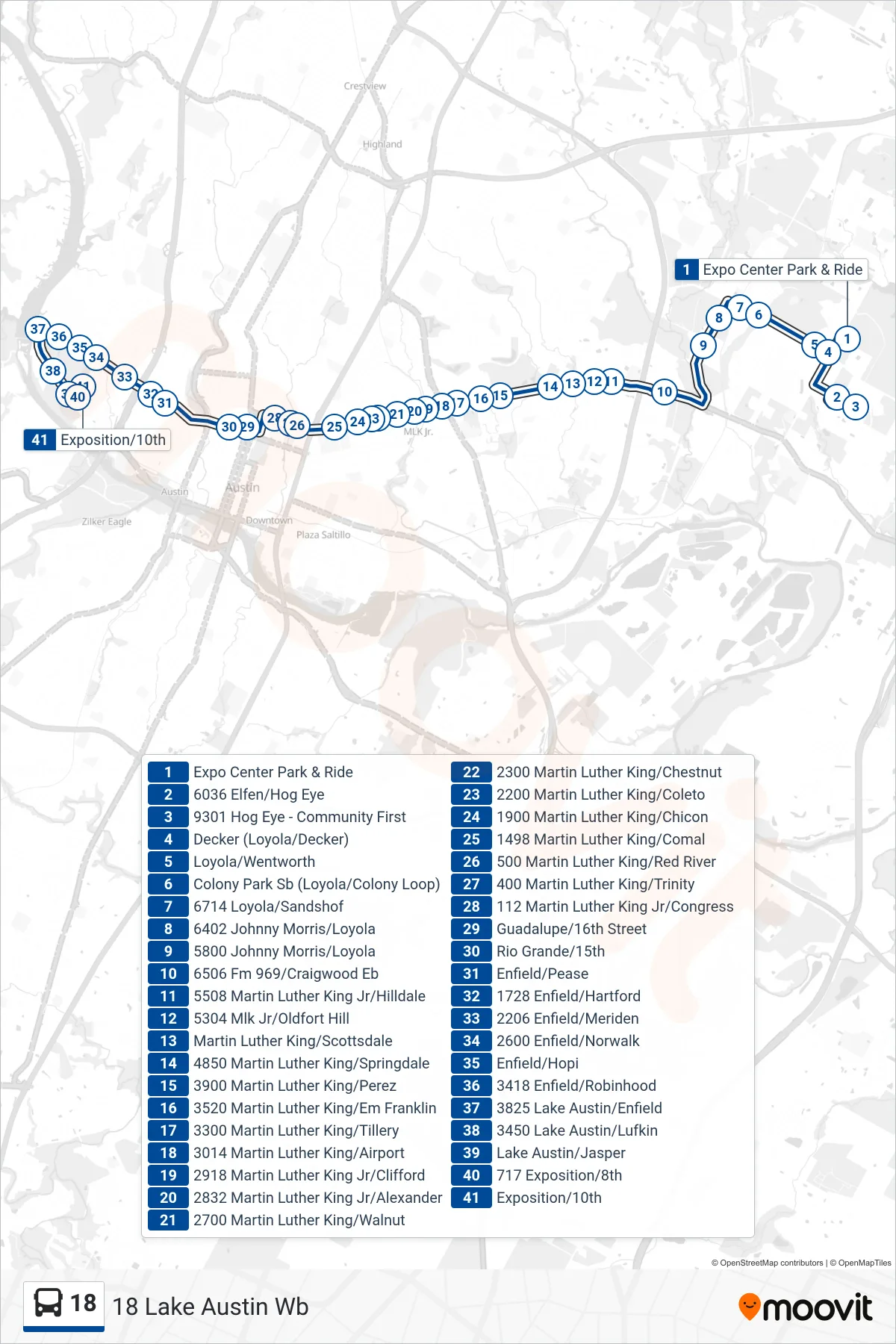
Stops list (18 - 18 Lake Austin Wb)
- Expo Center Park & Ride
- 6036 Elfen/Hog Eye
- 9301 Hog Eye - Community First
- Decker (Loyola/Decker)
- Loyola/Wentworth
- Colony Park Sb (Loyola/Colony Loop)
- 6714 Loyola/Sandshof
- 6402 Johnny Morris/Loyola
- 5800 Johnny Morris/Loyola
- 6506 Fm 969/Craigwood Eb
- 5508 Martin Luther King Jr/Hilldale
- 5304 Mlk Jr/Oldfort Hill
- Martin Luther King/Scottsdale
- 4850 Martin Luther King/Springdale
- 3900 Martin Luther King/Perez
- 3520 Martin Luther King/Em Franklin
- 3300 Martin Luther King/Tillery
- 3014 Martin Luther King/Airport
- 2918 Martin Luther King Jr/Clifford
- 2832 Martin Luther King Jr/Alexander
- 2700 Martin Luther King/Walnut
- 2300 Martin Luther King/Chestnut
- 2200 Martin Luther King/Coleto
- 1900 Martin Luther King/Chicon
- 1498 Martin Luther King/Comal
- 500 Martin Luther King/Red River
- 400 Martin Luther King/Trinity
- 112 Martin Luther King Jr/Congress
- Guadalupe/16th Street
- Rio Grande/15th
- Enfield/Pease
- 1728 Enfield/Hartford
- 2206 Enfield/Meriden
- 2600 Enfield/Norwalk
- Enfield/Hopi
- 3418 Enfield/Robinhood
- 3825 Lake Austin/Enfield
- 3450 Lake Austin/Lufkin
- Lake Austin/Jasper
- 717 Exposition/8th
- Exposition/10th