
18 Bus Route Map
View the 18 route map and see all 18 stops along the route. The map of 18 shows where the bus travels and the location of each stop, making it easy to understand the entire route at a glance.
Explore Keolis Bassin de Thau routes on the map and see where Keolis Bassin de Thau bus services operate. Use the 18 map to find bus stops and see how the 18 connects different areas along its trip.
All 18 stops on the map are displayed in route order, helping you follow the 18 bus from the first stop to the last.
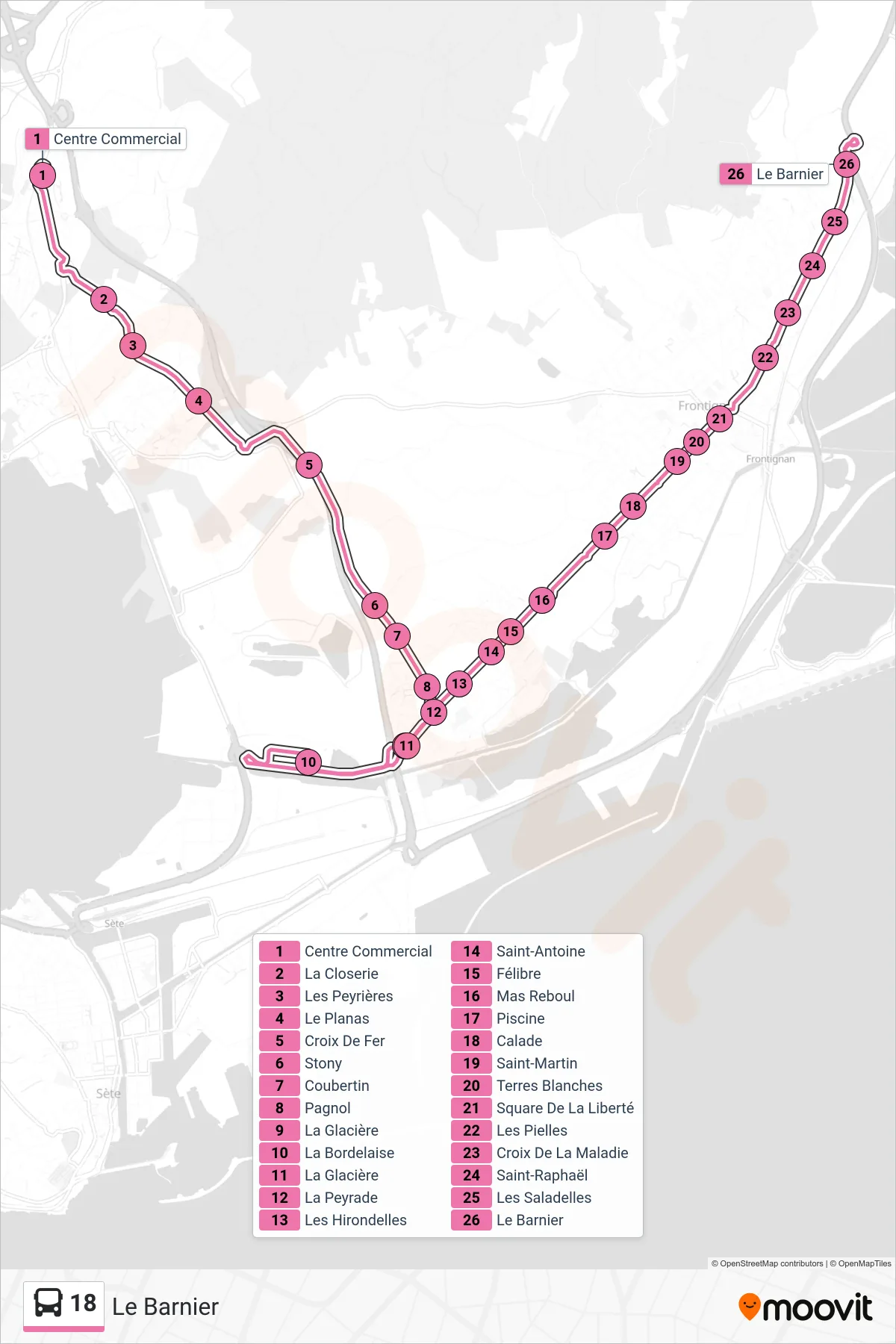
Stops list (18 - Le Barnier)
- Centre Commercial
- La Closerie
- Les Peyrières
- Le Planas
- Croix De Fer
- Stony
- Coubertin
- Pagnol
- La Glacière
- La Bordelaise
- La Glacière
- La Peyrade
- Les Hirondelles
- Saint-Antoine
- Félibre
- Mas Reboul
- Piscine
- Calade
- Saint-Martin
- Terres Blanches
- Square De La Liberté
- Les Pielles
- Croix De La Maladie
- Saint-Raphaël
- Les Saladelles
- Le Barnier