
180 Bus Route Map
View the 180 route map and see all 180 stops along the route. The map of 180 shows where the bus travels and the location of each stop, making it easy to understand the entire route at a glance.
Explore EVAG Bus routes on the map and see where EVAG Bus bus services operate. Use the 180 map to find bus stops and see how the 180 connects different areas along its trip.
All 180 stops on the map are displayed in route order, helping you follow the 180 bus from the first stop to the last.
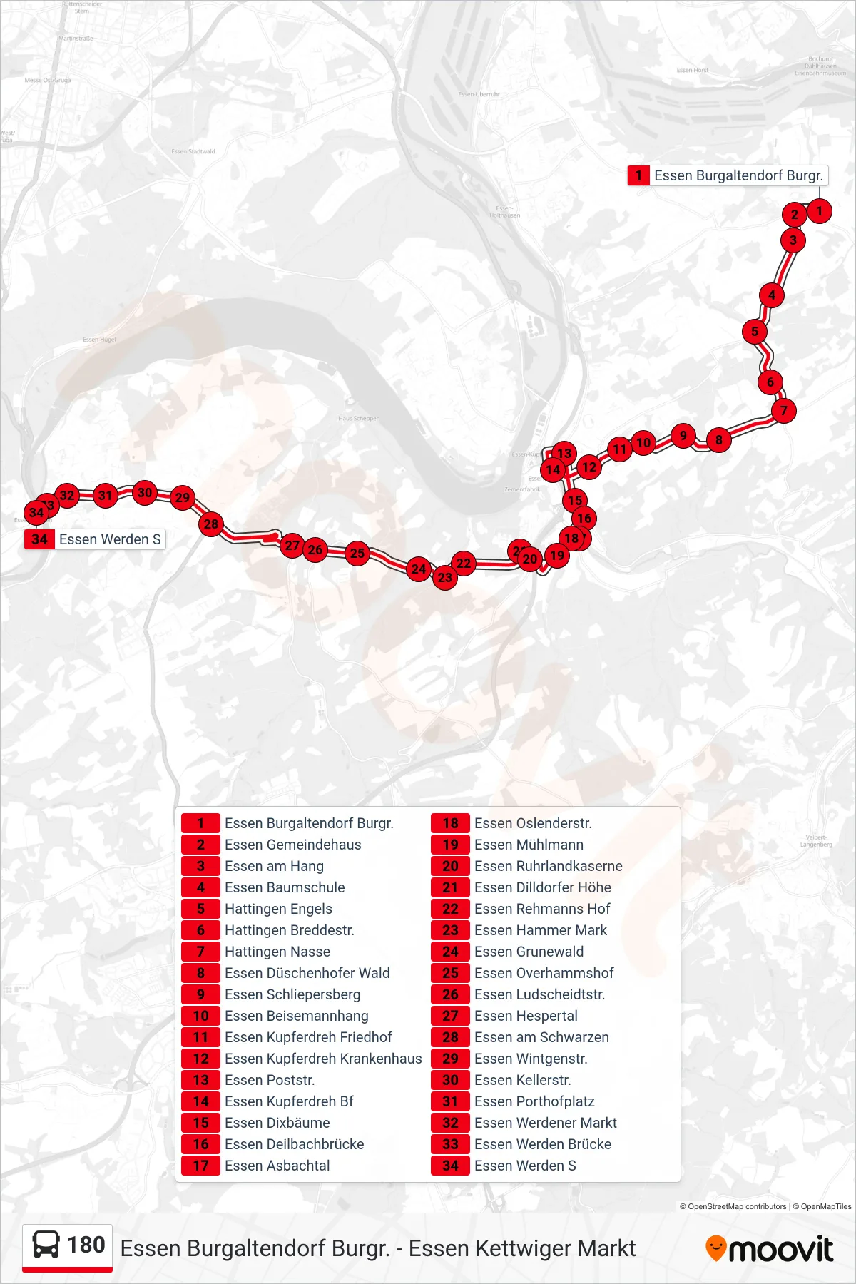
Stops list (180 - Essen Werden S)
- Essen Burgaltendorf Burgr.
- Essen Gemeindehaus
- Essen am Hang
- Essen Baumschule
- Hattingen Engels
- Hattingen Breddestr.
- Hattingen Nasse
- Essen Düschenhofer Wald
- Essen Schliepersberg
- Essen Beisemannhang
- Essen Kupferdreh Friedhof
- Essen Kupferdreh Krankenhaus
- Essen Poststr.
- Essen Kupferdreh Bf
- Essen Dixbäume
- Essen Deilbachbrücke
- Essen Asbachtal
- Essen Oslenderstr.
- Essen Mühlmann
- Essen Ruhrlandkaserne
- Essen Dilldorfer Höhe
- Essen Rehmanns Hof
- Essen Hammer Mark
- Essen Grunewald
- Essen Overhammshof
- Essen Ludscheidtstr.
- Essen Hespertal
- Essen am Schwarzen
- Essen Wintgenstr.
- Essen Kellerstr.
- Essen Porthofplatz
- Essen Werdener Markt
- Essen Werden Brücke
- Essen Werden S