
182 Tram Route Map
View the 182 route map and see all 182 stops along the route. The map of 182 shows where the tram travels and the location of each stop, making it easy to understand the entire route at a glance.
Explore routes on the map and see where tram services operate. Use the 182 map to find tram stations and see how the 182 connects different areas along its trip.
All 182 stops on the map are displayed in route order, helping you follow the 182 tram from the first station to the last.
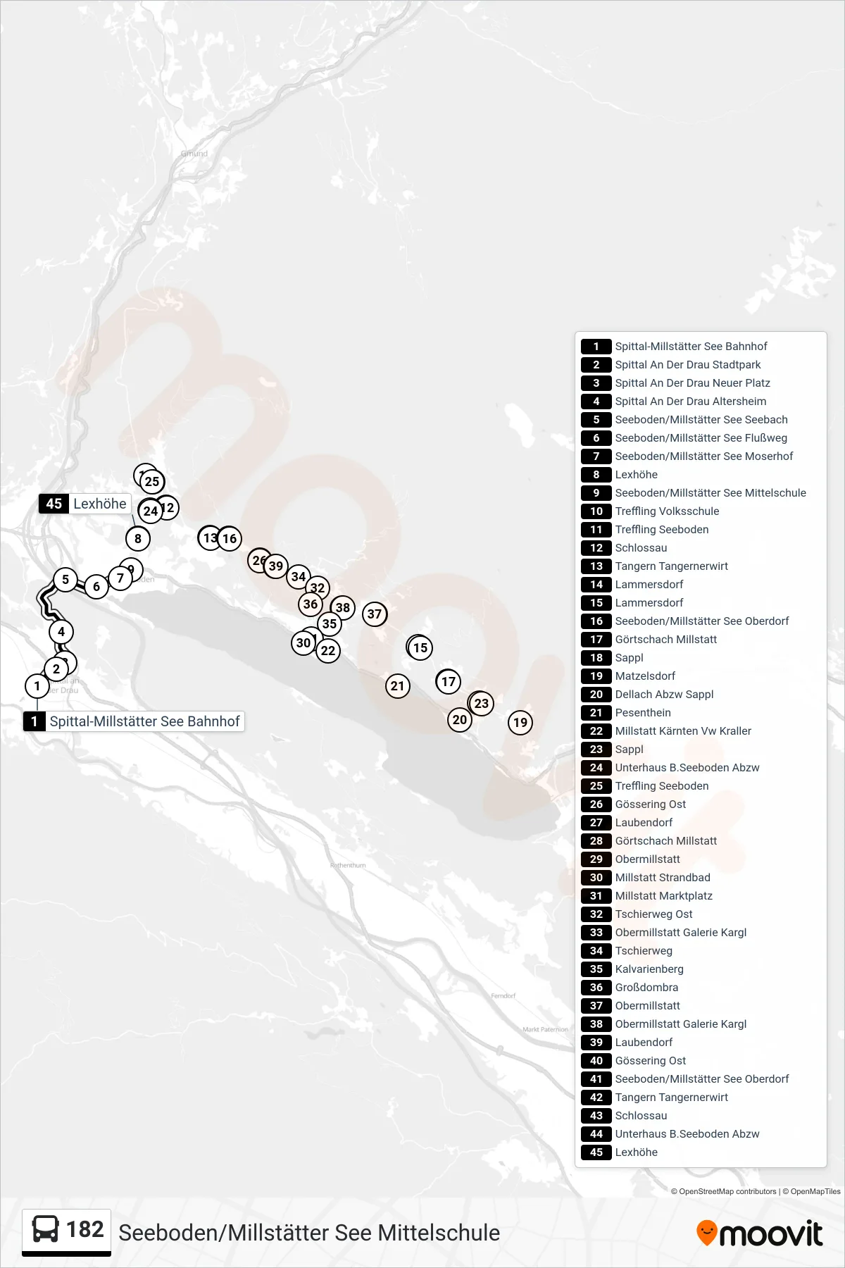
Stops list (182 - Seeboden/Millstätter See Mittelschule)
- Spittal-Millstätter See Bahnhof
- Spittal An Der Drau Stadtpark
- Spittal An Der Drau Neuer Platz
- Spittal An Der Drau Altersheim
- Seeboden/Millstätter See Seebach
- Seeboden/Millstätter See Flußweg
- Seeboden/Millstätter See Moserhof
- Lexhöhe
- Seeboden/Millstätter See Mittelschule
- Treffling Volksschule
- Treffling Seeboden
- Schlossau
- Tangern Tangernerwirt
- Lammersdorf
- Lammersdorf
- Seeboden/Millstätter See Oberdorf
- Görtschach Millstatt
- Sappl
- Matzelsdorf
- Dellach Abzw Sappl
- Pesenthein
- Millstatt Kärnten Vw Kraller
- Sappl
- Unterhaus B.Seeboden Abzw
- Treffling Seeboden
- Gössering Ost
- Laubendorf
- Görtschach Millstatt
- Obermillstatt
- Millstatt Strandbad
- Millstatt Marktplatz
- Tschierweg Ost
- Obermillstatt Galerie Kargl
- Tschierweg
- Kalvarienberg
- Großdombra
- Obermillstatt
- Obermillstatt Galerie Kargl
- Laubendorf
- Gössering Ost
- Seeboden/Millstätter See Oberdorf
- Tangern Tangernerwirt
- Schlossau
- Unterhaus B.Seeboden Abzw
- Lexhöhe