
1B Bus Route Map
View the 1B route map and see all 1B stops along the route. The map of 1B shows where the bus travels and the location of each stop, making it easy to understand the entire route at a glance.
Explore Start routes on the map and see where Start bus services operate. Use the 1B map to find bus stops and see how the 1B connects different areas along its trip.
All 1B stops on the map are displayed in route order, helping you follow the 1B bus from the first stop to the last.
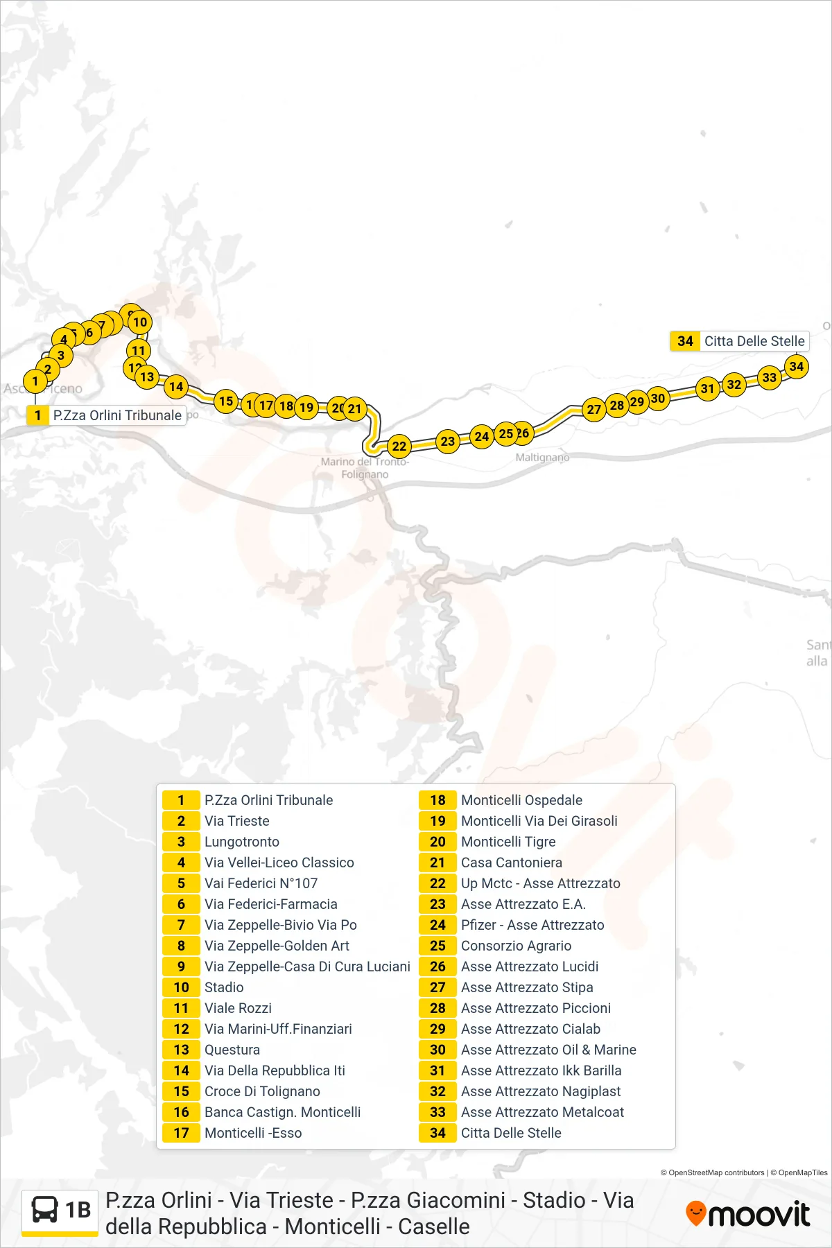
Stops list (1B - City of Stars)
- Orlini Square Courthouse
- Trieste Street
- Tronto Riverside
- Vellei Street-Classical High School
- 107 Federici Street
- Via Federici-Pharmacy
- Zeppelle Street-Po Street Junction
- Zeppelle Street-Golden Art
- Via Zeppelle-Luciani Clinic
- Stadium
- Rozzi Avenue
- Marini Street-Financial Offices
- Police Headquarters
- Via Della Repubblica ITI
- Tolignano Cross
- Castignano Monticelli Bank
- Monticelli - Esso
- Monticelli Hospital
- Monticelli Sunflower Street
- Monticelli Tigre
- Cantoniera House
- Up Mctc - Service Road
- E.A. Industrial Area
- Pfizer - Equipment Axis
- Agricultural Consortium
- Asse Attrezzato Lucidi
- Stipa Service Road
- Piccioni Service Road
- Industrial Axis Cialab
- Industrial Area Oil & Marine
- Ikk Barilla Industrial Area
- Equipment Axis Nagiplast
- Metalcoat Industrial Area
- City of Stars