
2 Bus Route Map
View the 2 route map and see all 2 stops along the route. The map of 2 shows where the bus travels and the location of each stop, making it easy to understand the entire route at a glance.
Explore Midttrafik routes on the map and see where Midttrafik bus services operate. Use the 2 map to find bus stops and see how the 2 connects different areas along its trip.
All 2 stops on the map are displayed in route order, helping you follow the 2 bus from the first stop to the last.
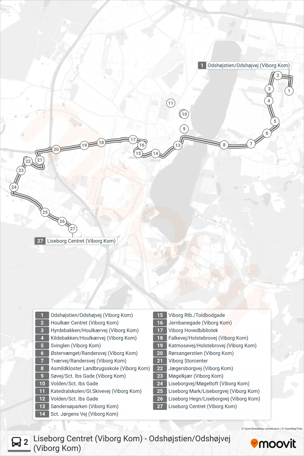
Stops list (2 - Liseborg Centret (Viborg Kom))
- Odshøjstien/Odshøjvej (Viborg Kom)
- Houlkær Centret (Viborg Kom)
- Hyrdebakken/Houlkærvej (Viborg Kom)
- Kildebakken/Houlkærvej (Viborg Kom)
- Svinglen (Viborg Kom)
- Østervænget/Randersvej (Viborg Kom)
- Tværvej/Randersvej (Viborg Kom)
- Asmildkloster Landbrugsskole (Viborg Kom)
- Søvej/Sct. Ibs Gade (Viborg Kom)
- Volden/Sct. Ibs Gade
- Katedralskolen/Gl.Skivevej (Viborg Kom)
- Volden/Sct. Ibs Gade
- Søndersøparken (Viborg Kom)
- Sct. Jørgens Vej (Viborg Kom)
- Viborg Rtb./Toldbodgade
- Jernbanegade (Viborg Kom)
- Viborg Hovedbibliotek
- Falkevej/Holstebrovej (Viborg Kom)
- Katmosevej/Holstebrovej (Viborg Kom)
- Rørsangerstien (Viborg Kom)
- Viborg Storcenter
- Jægersborgvej (Viborg Kom)
- Møgelkjær (Viborg Kom)
- Liseborgvej/Møgeltoft (Viborg Kom)
- Liseborg Mark/Liseborgvej (Viborg Kom)
- Liseborg Hegn/Liseborgvej (Viborg Kom)
- Liseborg Centret (Viborg Kom)