
2 Bus Route Map
View the 2 route map and see all 2 stops along the route. The map of 2 shows where the bus travels and the location of each stop, making it easy to understand the entire route at a glance.
Explore Midttrafik routes on the map and see where Midttrafik bus services operate. Use the 2 map to find bus stops and see how the 2 connects different areas along its trip.
All 2 stops on the map are displayed in route order, helping you follow the 2 bus from the first stop to the last.
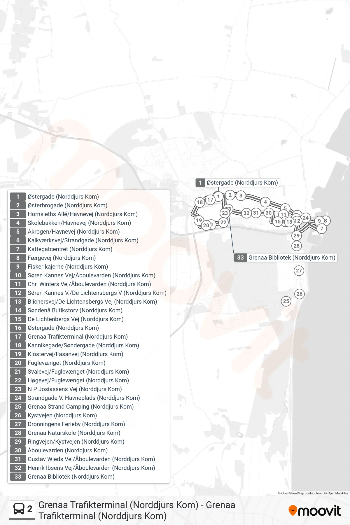

Stops list (2 - Grenaa Trafikterminal (Norddjurs Kom))
- Grenaa Trafikterminal (Norddjurs Kom)
- Kannikegade/Søndergade (Norddjurs Kom)
- Klostervej/Fasanvej (Norddjurs Kom)
- Fuglevænget (Norddjurs Kom)
- Svalevej/Fuglevænget (Norddjurs Kom)
- Høgevej/Fuglevænget (Norddjurs Kom)
- N P Josiassens Vej (Norddjurs Kom)
- Østerbrogade (Norddjurs Kom)
- Hornsleths Allé/Havnevej (Norddjurs Kom)
- Skolebakken/Havnevej (Norddjurs Kom)
- Åkrogen/Havnevej (Norddjurs Kom)
- Kalkværksvej/Strandgade (Norddjurs Kom)
- Strandgade V. Havneplads (Norddjurs Kom)
- Kattegatcentret (Norddjurs Kom)
- Færgevej (Norddjurs Kom)
- Fiskerikajerne (Norddjurs Kom)
- Søren Kannes V./De Lichtensbergs V (Norddjurs Kom)
- Blichersvej/De Lichtensbergs Vej (Norddjurs Kom)
- Søndenå Butikstorv (Norddjurs Kom)
- De Lichtenbergs Vej (Norddjurs Kom)
- Åboulevarden (Norddjurs Kom)
- Gustav Wieds Vej/Åboulevarden (Norddjurs Kom)
- Henrik Ibsens Vej/Åboulevarden (Norddjurs Kom)
- Grenaa Bibliotek (Norddjurs Kom)
- Østergade (Norddjurs Kom)
- Grenaa Trafikterminal (Norddjurs Kom)