
2 Bus Route Map
View the 2 route map and see all 2 stops along the route. The map of 2 shows where the bus travels and the location of each stop, making it easy to understand the entire route at a glance.
Explore Sydtrafik routes on the map and see where Sydtrafik bus services operate. Use the 2 map to find bus stops and see how the 2 connects different areas along its trip.
All 2 stops on the map are displayed in route order, helping you follow the 2 bus from the first stop to the last.
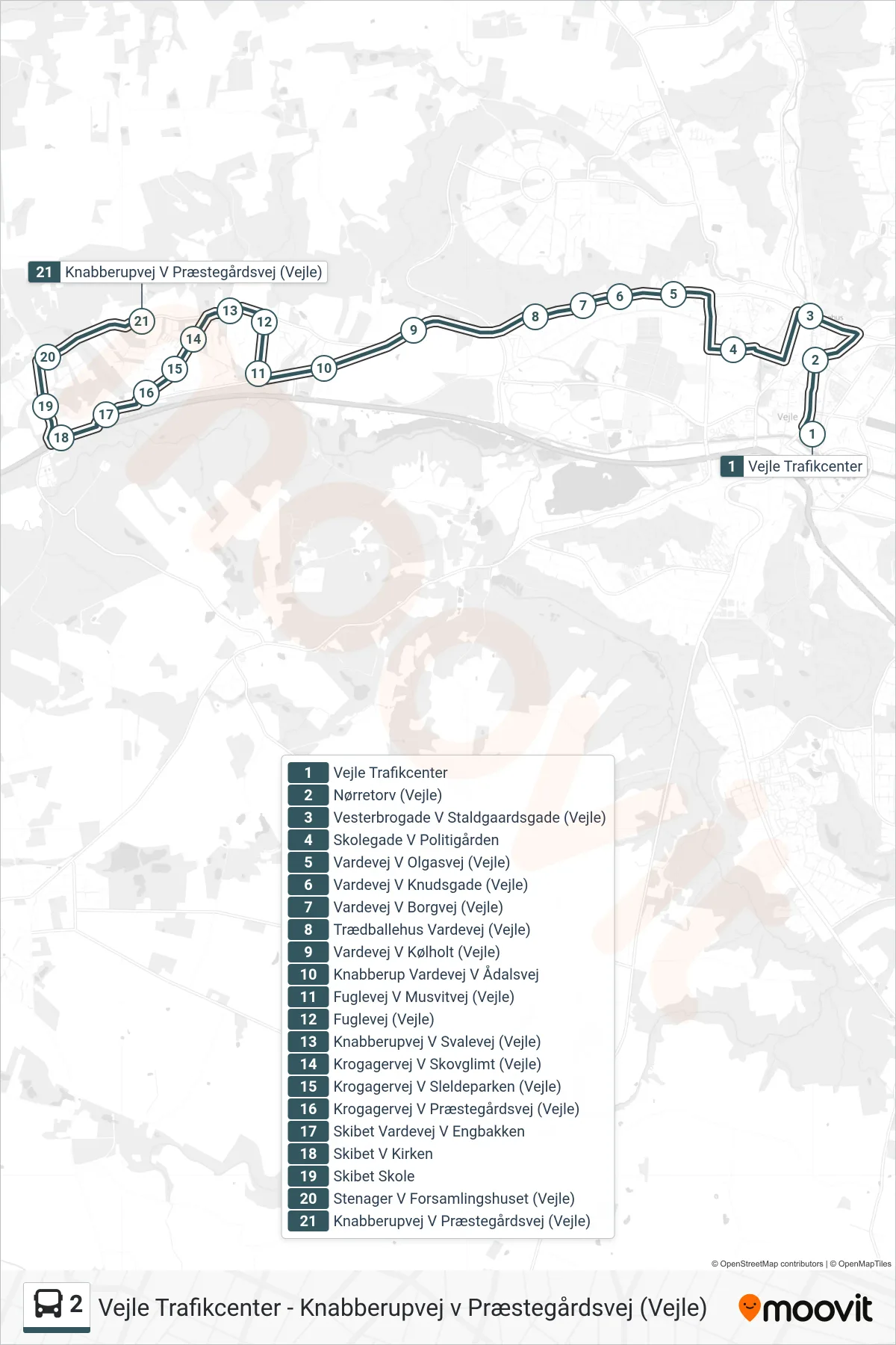
Stops list (2 - Knabberupvej V Præstegårdsvej (Vejle))
- Vejle Trafikcenter
- Nørretorv (Vejle)
- Vesterbrogade V Staldgaardsgade (Vejle)
- Skolegade V Politigården
- Vardevej V Olgasvej (Vejle)
- Vardevej V Knudsgade (Vejle)
- Vardevej V Borgvej (Vejle)
- Trædballehus Vardevej (Vejle)
- Vardevej V Kølholt (Vejle)
- Knabberup Vardevej V Ådalsvej
- Fuglevej V Musvitvej (Vejle)
- Fuglevej (Vejle)
- Knabberupvej V Svalevej (Vejle)
- Krogagervej V Skovglimt (Vejle)
- Krogagervej V Sleldeparken (Vejle)
- Krogagervej V Præstegårdsvej (Vejle)
- Skibet Vardevej V Engbakken
- Skibet V Kirken
- Skibet Skole
- Stenager V Forsamlingshuset (Vejle)
- Knabberupvej V Præstegårdsvej (Vejle)