
2 Tram Route Map
View the 2 route map and see all 2 stops along the route. The map of 2 shows where the tram travels and the location of each stop, making it easy to understand the entire route at a glance.
Explore Hallesche Verkehrs-AG routes on the map and see where Hallesche Verkehrs-AG tram services operate. Use the 2 map to find tram stations and see how the 2 connects different areas along its trip.
All 2 stops on the map are displayed in route order, helping you follow the 2 tram from the first station to the last.
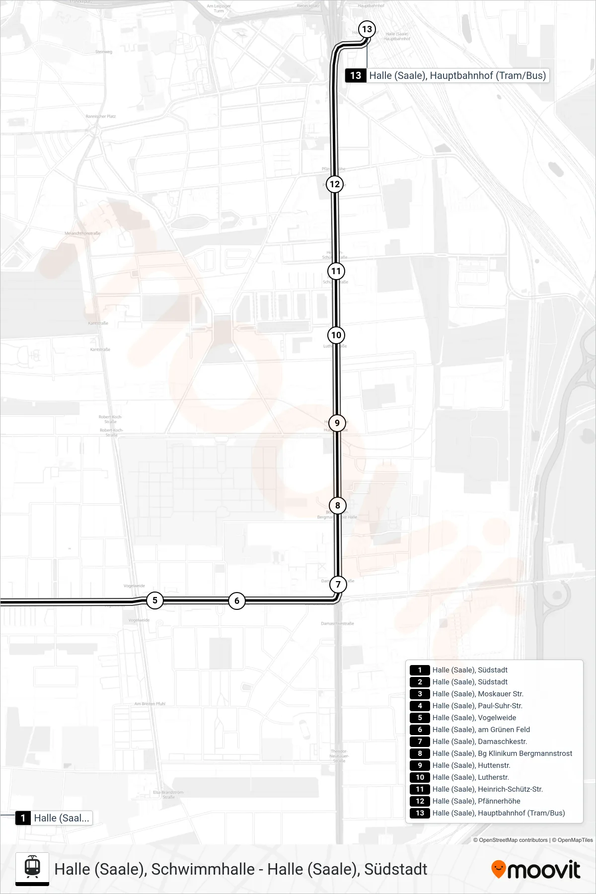
Stops list (2 - Halle (Saale), Hauptbahnhof (Tram/Bus))
- Halle (Saale), Südstadt
- Halle (Saale), Südstadt
- Halle (Saale), Moskauer Str.
- Halle (Saale), Paul-Suhr-Str.
- Halle (Saale), Vogelweide
- Halle (Saale), am Grünen Feld
- Halle (Saale), Damaschkestr.
- Halle (Saale), Bg Klinikum Bergmannstrost
- Halle (Saale), Huttenstr.
- Halle (Saale), Lutherstr.
- Halle (Saale), Heinrich-Schütz-Str.
- Halle (Saale), Pfännerhöhe
- Halle (Saale), Hauptbahnhof (Tram/Bus)
Change direction
- Route Map - 2 - Halle (Saale), Marktplatz
- Route Map - 2 - Halle (Saale), Marktplatz
- Route Map - 2 - Halle (Saale), Schwimmhalle
- Route Map - 2 - Betriebshof Freiimfelder Str.
- Route Map - 2 - Halle (Saale), Betriebshof Rosengarten II
- Route Map - 2 - Halle (Saale), Soltauer Str.
- Route Map - 2 - Halle (Saale), am Steintor
- Route Map - 2 - Betriebshof Freiimfelder Str.
- Route Map - 2 - Halle (Saale), Südstadt
- Route Map - 2 - Halle (Saale), Beesen