
2 Bus Route Map
View the 2 route map and see all 2 stops along the route. The map of 2 shows where the bus travels and the location of each stop, making it easy to understand the entire route at a glance.
Explore Metro McAllen routes on the map and see where Metro McAllen bus services operate. Use the 2 map to find bus stops and see how the 2 connects different areas along its trip.
All 2 stops on the map are displayed in route order, helping you follow the 2 bus from the first stop to the last.
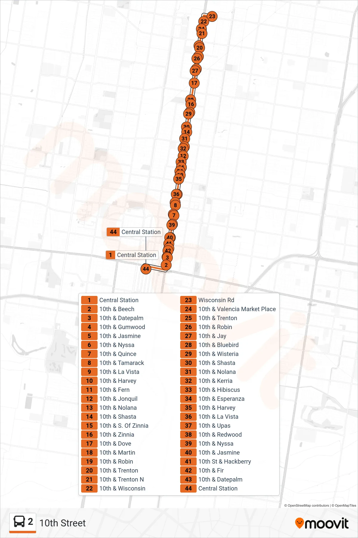
Stops list (2 - 10th Street)
- Central Station
- 10th & Beech
- 10th & Datepalm
- 10th & Gumwood
- 10th & Jasmine
- 10th & Nyssa
- 10th & Quince
- 10th & Tamarack
- 10th & La Vista
- 10th & Harvey
- 10th & Fern
- 10th & Jonquil
- 10th & Nolana
- 10th & Shasta
- 10th & S. Of Zinnia
- 10th & Zinnia
- 10th & Dove
- 10th & Martin
- 10th & Robin
- 10th & Trenton
- 10th & Trenton N
- 10th & Wisconsin
- Wisconsin Rd
- 10th & Valencia Market Place
- 10th & Trenton
- 10th & Robin
- 10th & Jay
- 10th & Bluebird
- 10th & Wisteria
- 10th & Shasta
- 10th & Nolana
- 10th & Kerria
- 10th & Hibiscus
- 10th & Esperanza
- 10th & Harvey
- 10th & La Vista
- 10th & Upas
- 10th & Redwood
- 10th & Nyssa
- 10th & Jasmine
- 10th St & Hackberry
- 10th & Fir
- 10th & Datepalm
- Central Station