
2 Bus Route Map
View the 2 route map and see all 2 stops along the route. The map of 2 shows where the bus travels and the location of each stop, making it easy to understand the entire route at a glance.
Explore Regensburger Verkehrsbetrieb routes on the map and see where Regensburger Verkehrsbetrieb bus services operate. Use the 2 map to find bus stops and see how the 2 connects different areas along its trip.
All 2 stops on the map are displayed in route order, helping you follow the 2 bus from the first stop to the last.
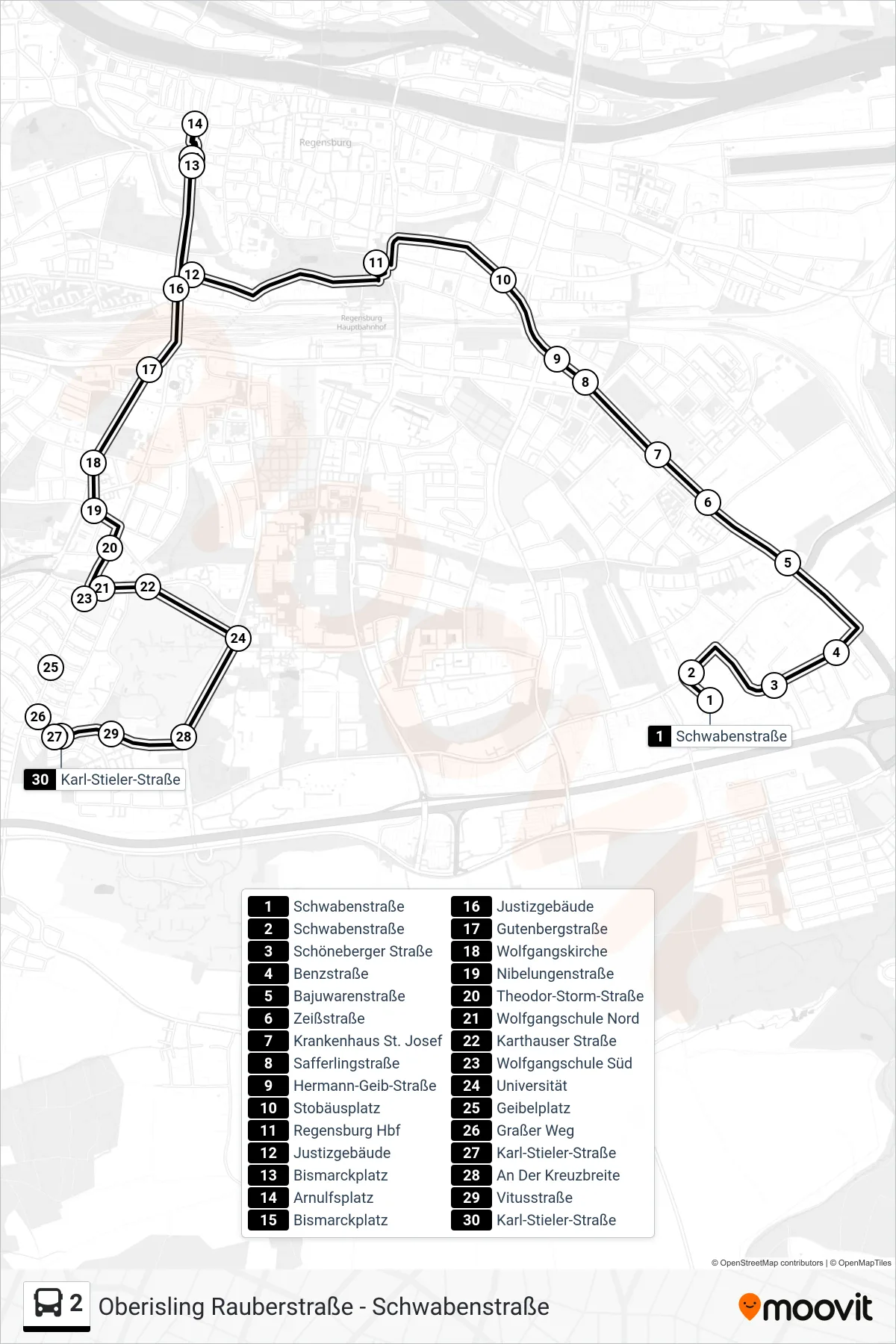
Stops list (2 - Karl-Stieler-Straße)
- Schwabenstraße
- Schwabenstraße
- Schöneberger Straße
- Benzstraße
- Bajuwarenstraße
- Zeißstraße
- Krankenhaus St. Josef
- Safferlingstraße
- Hermann-Geib-Straße
- Stobäusplatz
- Regensburg Hbf
- Justizgebäude
- Bismarckplatz
- Arnulfsplatz
- Bismarckplatz
- Justizgebäude
- Gutenbergstraße
- Wolfgangskirche
- Nibelungenstraße
- Theodor-Storm-Straße
- Wolfgangschule Nord
- Karthauser Straße
- Wolfgangschule Süd
- Universität
- Geibelplatz
- Graßer Weg
- Karl-Stieler-Straße
- An Der Kreuzbreite
- Vitusstraße
- Karl-Stieler-Straße