
2 Light Rail Route Map
View the 2 route map and see all 2 stops along the route. The map of 2 shows where the light rail travels and the location of each stop, making it easy to understand the entire route at a glance.
Explore GVB routes on the map and see where GVB light rail services operate. Use the 2 map to find light rail stations and see how the 2 connects different areas along its trip.
All 2 stops on the map are displayed in route order, helping you follow the 2 light rail from the first station to the last.
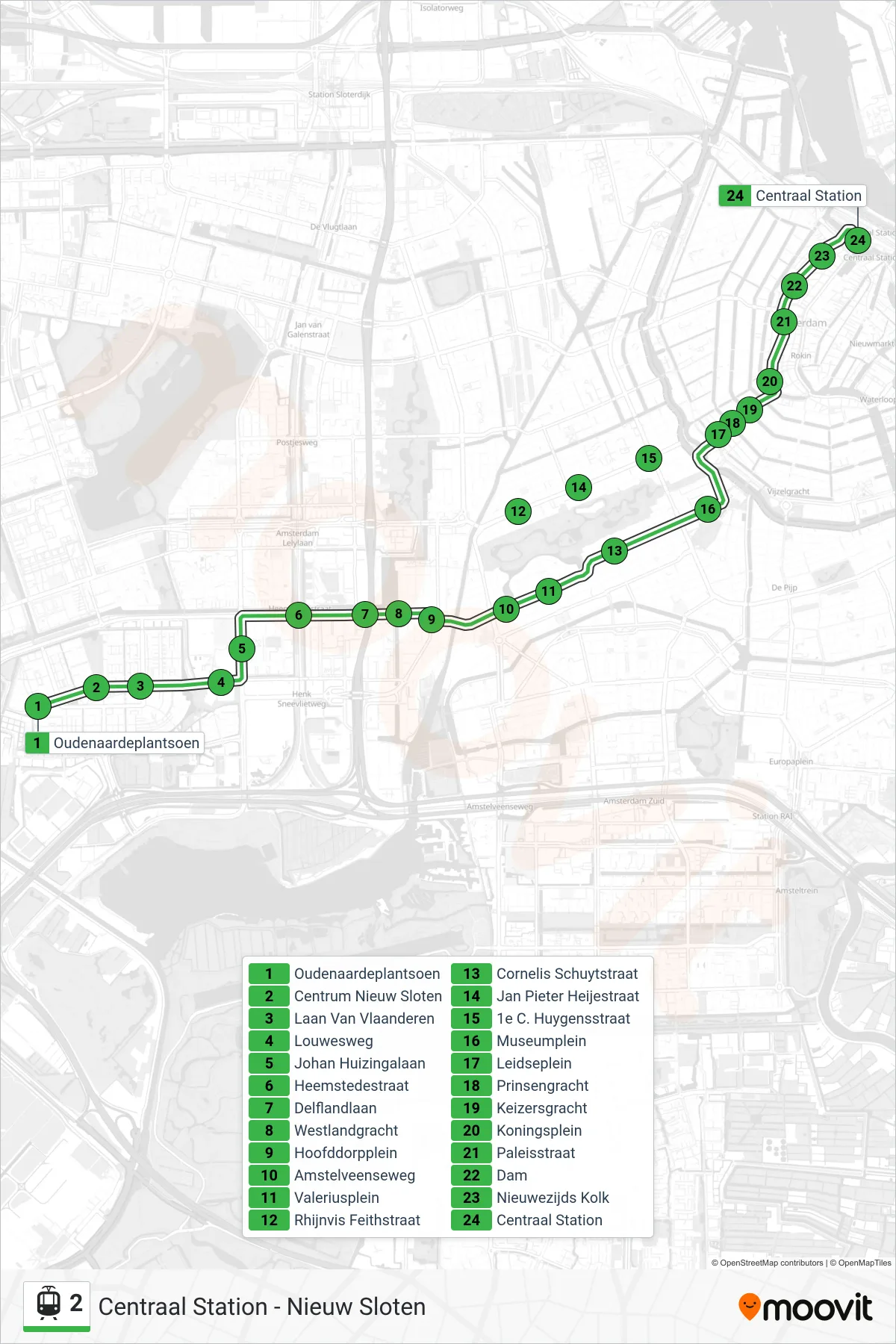

Stops list (2 - Centraal Station)
- Oudenaardeplantsoen
- Centrum Nieuw Sloten
- Laan Van Vlaanderen
- Louwesweg
- Johan Huizingalaan
- Heemstedestraat
- Delflandlaan
- Westlandgracht
- Hoofddorpplein
- Amstelveenseweg
- Valeriusplein
- Cornelis Schuytstraat
- Museumplein
- Leidseplein
- Prinsengracht
- Keizersgracht
- Koningsplein
- Paleisstraat
- Dam
- Nieuwezijds Kolk
- Centraal Station