
2 Bus Route Map
View the 2 route map and see all 2 stops along the route. The map of 2 shows where the bus travels and the location of each stop, making it easy to understand the entire route at a glance.
Explore Connexxion routes on the map and see where Connexxion bus services operate. Use the 2 map to find bus stops and see how the 2 connects different areas along its trip.
All 2 stops on the map are displayed in route order, helping you follow the 2 bus from the first stop to the last.
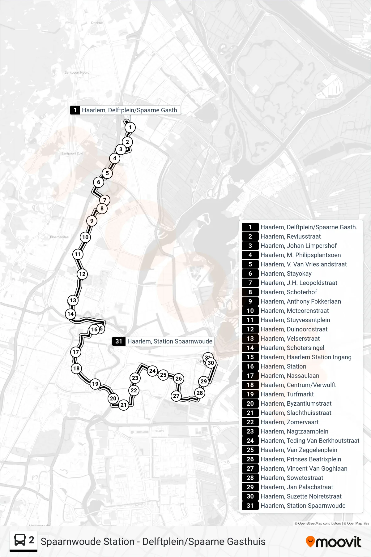
Stops list (2 - Station Spaarnwoude)
- Haarlem, Delftplein/Spaarne Gasth.
- Haarlem, Reviusstraat
- Haarlem, Johan Limpershof
- Haarlem, M. Philipsplantsoen
- Haarlem, V. Van Vrieslandstraat
- Haarlem, Stayokay
- Haarlem, J.H. Leopoldstraat
- Haarlem, Schoterhof
- Haarlem, Anthony Fokkerlaan
- Haarlem, Meteorenstraat
- Haarlem, Stuyvesantplein
- Haarlem, Duinoordstraat
- Haarlem, Velserstraat
- Haarlem, Schotersingel
- Haarlem, Haarlem Station Ingang
- Haarlem, Station
- Haarlem, Nassaulaan
- Haarlem, Centrum/Verwulft
- Haarlem, Turfmarkt
- Haarlem, Byzantiumstraat
- Haarlem, Slachthuisstraat
- Haarlem, Zomervaart
- Haarlem, Nagtzaamplein
- Haarlem, Teding Van Berkhoutstraat
- Haarlem, Van Zeggelenplein
- Haarlem, Prinses Beatrixplein
- Haarlem, Vincent Van Goghlaan
- Haarlem, Sowetostraat
- Haarlem, Jan Palachstraat
- Haarlem, Suzette Noiretstraat
- Haarlem, Station Spaarnwoude