
2 Bus Route Map
View the 2 route map and see all 2 stops along the route. The map of 2 shows where the bus travels and the location of each stop, making it easy to understand the entire route at a glance.
Explore GoDurham routes on the map and see where GoDurham bus services operate. Use the 2 map to find bus stops and see how the 2 connects different areas along its trip.
All 2 stops on the map are displayed in route order, helping you follow the 2 bus from the first stop to the last.
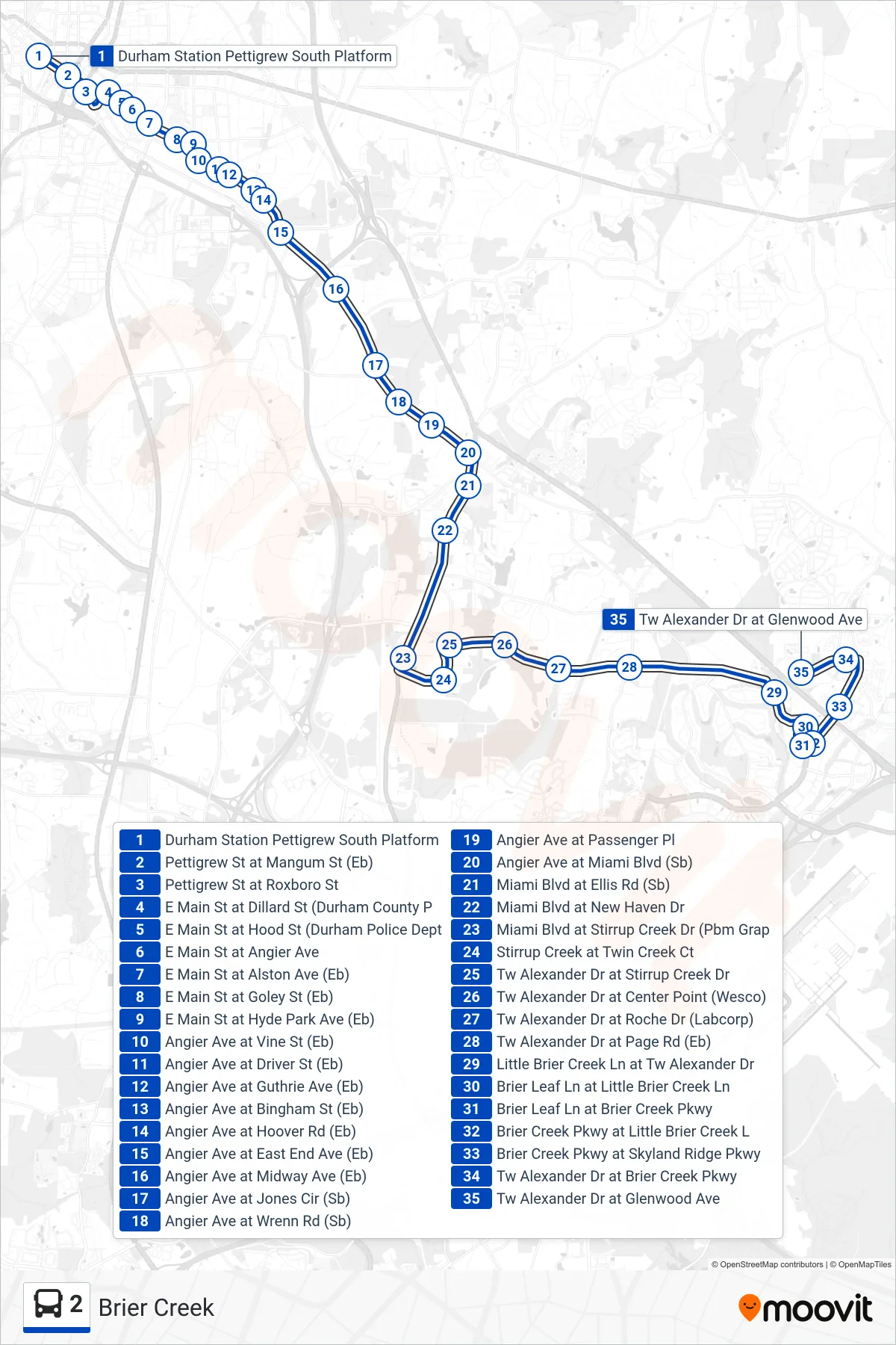
Stops list (2 - Brier Creek)
- Durham Station Pettigrew South Platform
- Pettigrew St at Mangum St (Eb)
- Pettigrew St at Roxboro St
- E Main St at Dillard St (Durham County P
- E Main St at Hood St (Durham Police Dept
- E Main St at Angier Ave
- E Main St at Alston Ave (Eb)
- E Main St at Goley St (Eb)
- E Main St at Hyde Park Ave (Eb)
- Angier Ave at Vine St (Eb)
- Angier Ave at Driver St (Eb)
- Angier Ave at Guthrie Ave (Eb)
- Angier Ave at Bingham St (Eb)
- Angier Ave at Hoover Rd (Eb)
- Angier Ave at East End Ave (Eb)
- Angier Ave at Midway Ave (Eb)
- Angier Ave at Jones Cir (Sb)
- Angier Ave at Wrenn Rd (Sb)
- Angier Ave at Passenger Pl
- Angier Ave at Miami Blvd (Sb)
- Miami Blvd at Ellis Rd (Sb)
- Miami Blvd at New Haven Dr
- Miami Blvd at Stirrup Creek Dr (Pbm Grap
- Stirrup Creek at Twin Creek Ct
- Tw Alexander Dr at Stirrup Creek Dr
- Tw Alexander Dr at Center Point (Wesco)
- Tw Alexander Dr at Roche Dr (Labcorp)
- Tw Alexander Dr at Page Rd (Eb)
- Little Brier Creek Ln at Tw Alexander Dr
- Brier Leaf Ln at Little Brier Creek Ln
- Brier Leaf Ln at Brier Creek Pkwy
- Brier Creek Pkwy at Little Brier Creek L
- Brier Creek Pkwy at Skyland Ridge Pkwy
- Tw Alexander Dr at Brier Creek Pkwy
- Tw Alexander Dr at Glenwood Ave