
2 Tram Route Map
View the 2 route map and see all 2 stops along the route. The map of 2 shows where the tram travels and the location of each stop, making it easy to understand the entire route at a glance.
Explore routes on the map and see where tram services operate. Use the 2 map to find tram stations and see how the 2 connects different areas along its trip.
All 2 stops on the map are displayed in route order, helping you follow the 2 tram from the first station to the last.
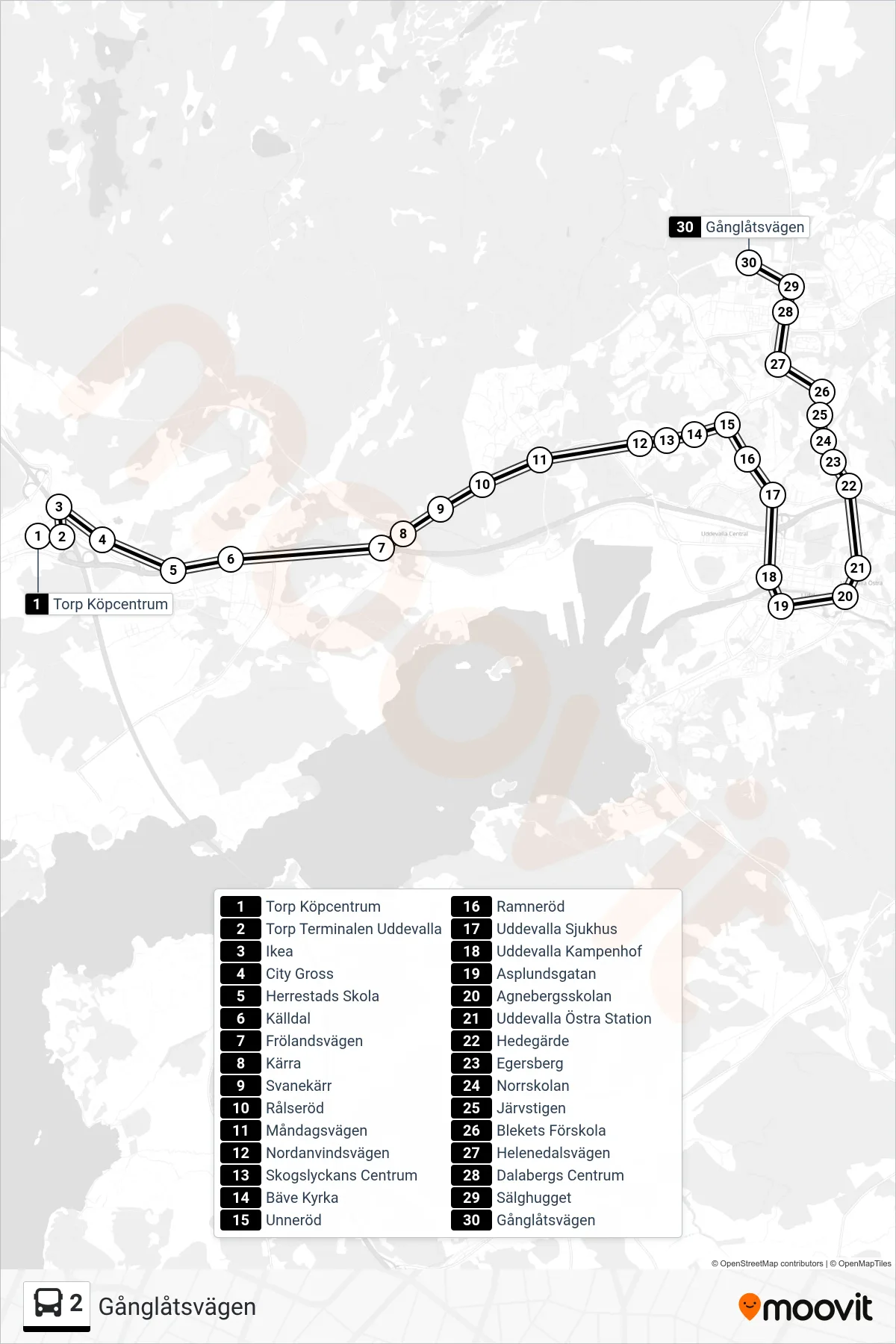
Stops list (2 - Gånglåtsvägen)
- Torp Köpcentrum
- Torp Terminalen Uddevalla
- Ikea
- City Gross
- Herrestads Skola
- Källdal
- Frölandsvägen
- Kärra
- Svanekärr
- Rålseröd
- Måndagsvägen
- Nordanvindsvägen
- Skogslyckans Centrum
- Bäve Kyrka
- Unneröd
- Ramneröd
- Uddevalla Sjukhus
- Uddevalla Kampenhof
- Asplundsgatan
- Agnebergsskolan
- Uddevalla Östra Station
- Hedegärde
- Egersberg
- Norrskolan
- Järvstigen
- Blekets Förskola
- Helenedalsvägen
- Dalabergs Centrum
- Sälghugget
- Gånglåtsvägen