
2 Bus Route Map
View the 2 route map and see all 2 stops along the route. The map of 2 shows where the bus travels and the location of each stop, making it easy to understand the entire route at a glance.
Explore ZuklinBus GmbH routes on the map and see where ZuklinBus GmbH bus services operate. Use the 2 map to find bus stops and see how the 2 connects different areas along its trip.
All 2 stops on the map are displayed in route order, helping you follow the 2 bus from the first stop to the last.
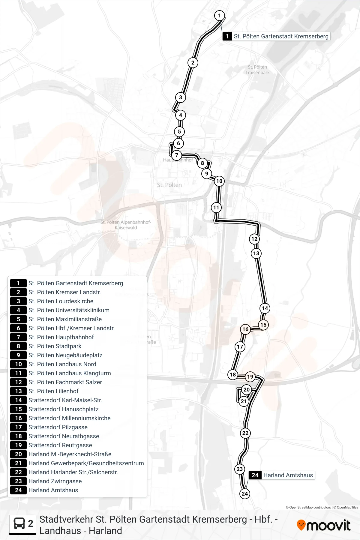
Stops list (2 - Harland Amtshaus)
- St. Pölten Gartenstadt Kremserberg
- St. Pölten Kremser Landstr.
- St. Pölten Lourdeskirche
- St. Pölten Universitätsklinikum
- St. Pölten Maximilianstraße
- St. Pölten Hbf./Kremser Landstr.
- St. Pölten Hauptbahnhof
- St. Pölten Stadtpark
- St. Pölten Neugebäudeplatz
- St. Pölten Landhaus Nord
- St. Pölten Landhaus Klangturm
- St. Pölten Fachmarkt Salzer
- St. Pölten Lilienhof
- Stattersdorf Karl-Maisel-Str.
- Stattersdorf Hanuschplatz
- Stattersdorf Millenniumskirche
- Stattersdorf Pilzgasse
- Stattersdorf Neurathgasse
- Stattersdorf Reuttgasse
- Harland M.-Beyerknecht-Straße
- Harland Gewerbepark/Gesundheitszentrum
- Harland Harlander Str./Salcherstr.
- Harland Zwirngasse
- Harland Amtshaus