
20 Bus Route Map
View the 20 route map and see all 20 stops along the route. The map of 20 shows where the bus travels and the location of each stop, making it easy to understand the entire route at a glance.
Explore Cialone S.p.A. routes on the map and see where Cialone S.p.A. bus services operate. Use the 20 map to find bus stops and see how the 20 connects different areas along its trip.
All 20 stops on the map are displayed in route order, helping you follow the 20 bus from the first stop to the last.
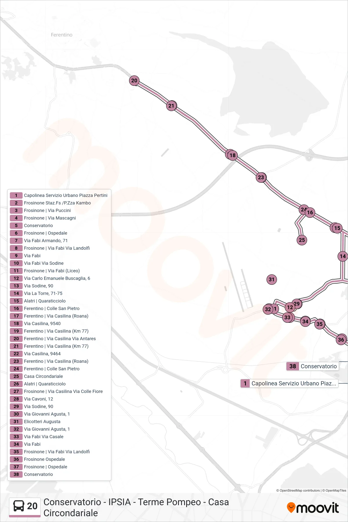
Stops list (20 - Pertini Square)
- Urban Service Terminal Pertini Square
- Frosinone Station/Kambo Square
- Frosinone | Puccini Street
- Frosinone | Mascagni Street
- Conservatory
- Frosinone | Hospital
- Via Fabi Armando, 71
- Frosinone | Fabi St Landolfi St
- Via Fabi
- Via Fabi Via Sodine
- Frosinone | Via Fabi (High School)
- Via Carlo Emanuele Buscaglia, 6
- Sodine Street, 90
- La Torre Street, 71-75
- Alatri | Quaraticciolo
- Ferentino | Colle San Pietro
- Ferentino | Casilina Road (Roana)
- Via Casilina, 9540
- Ferentino | Casilina Road (Km 77)
- Ferentino | Casilina Street Antares Street
- Ferentino | Casilina Road (Km 77)
- Via Casilina, 9464
- Ferentino | Casilina Road (Roana)
- Ferentino | Colle San Pietro
- Detention Center
- Alatri | Quaraticciolo
- Frosinone | Casilina Road Colle Fiore Road
- Via Cavoni, 12
- Sodine Street, 90
- Giovanni Agusta Street, 1
- Augusta Helicopters
- Giovanni Agusta Street, 1
- Via Fabi Via Casale
- Via Fabi
- Frosinone | Fabi St Landolfi St
- Frosinone Hospital
- Frosinone | Hospital
- Conservatory