
200 Bus Route Map
View the 200 route map and see all 200 stops along the route. The map of 200 shows where the bus travels and the location of each stop, making it easy to understand the entire route at a glance.
Explore LK2 routes on the map and see where LK2 bus services operate. Use the 200 map to find bus stops and see how the 200 connects different areas along its trip.
All 200 stops on the map are displayed in route order, helping you follow the 200 bus from the first stop to the last.
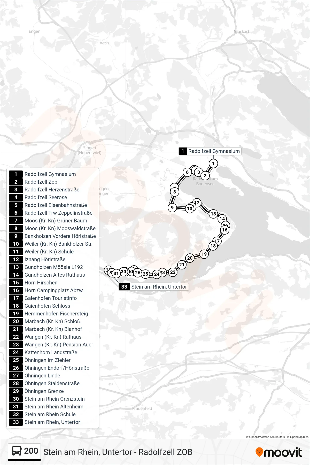
Stops list (200 - Stein am Rhein, Untertor)
- Radolfzell Gymnasium
- Radolfzell Zob
- Radolfzell Herzenstraße
- Radolfzell Seerose
- Radolfzell Eisenbahnstraße
- Radolfzell Trw Zeppelinstraße
- Moos (Kr. Kn) Grüner Baum
- Moos (Kr. Kn) Mooswaldstraße
- Bankholzen Vordere Höristraße
- Weiler (Kr. Kn) Bankholzer Str.
- Weiler (Kr. Kn) Schule
- Iznang Höristraße
- Gundholzen Möösle L192
- Gundholzen Altes Rathaus
- Horn Hirschen
- Horn Campingplatz Abzw.
- Gaienhofen Touristinfo
- Gaienhofen Schloss
- Hemmenhofen Fischersteig
- Marbach (Kr. Kn) Schloß
- Marbach (Kr. Kn) Blanhof
- Wangen (Kr. Kn) Rathaus
- Wangen (Kr. Kn) Pension Auer
- Kattenhorn Landstraße
- Öhningen Im Ziehler
- Öhningen Endorf/Höristraße
- Öhningen Linde
- Öhningen Staldenstraße
- Öhningen Grenze
- Stein am Rhein Grenzstein
- Stein am Rhein Altenheim
- Stein am Rhein Schule
- Stein am Rhein, Untertor