
21 Bus Route Map
View the 21 route map and see all 21 stops along the route. The map of 21 shows where the bus travels and the location of each stop, making it easy to understand the entire route at a glance.
Explore Rīgas satiksme routes on the map and see where Rīgas satiksme bus services operate. Use the 21 map to find bus stops and see how the 21 connects different areas along its trip.
All 21 stops on the map are displayed in route order, helping you follow the 21 bus from the first stop to the last.
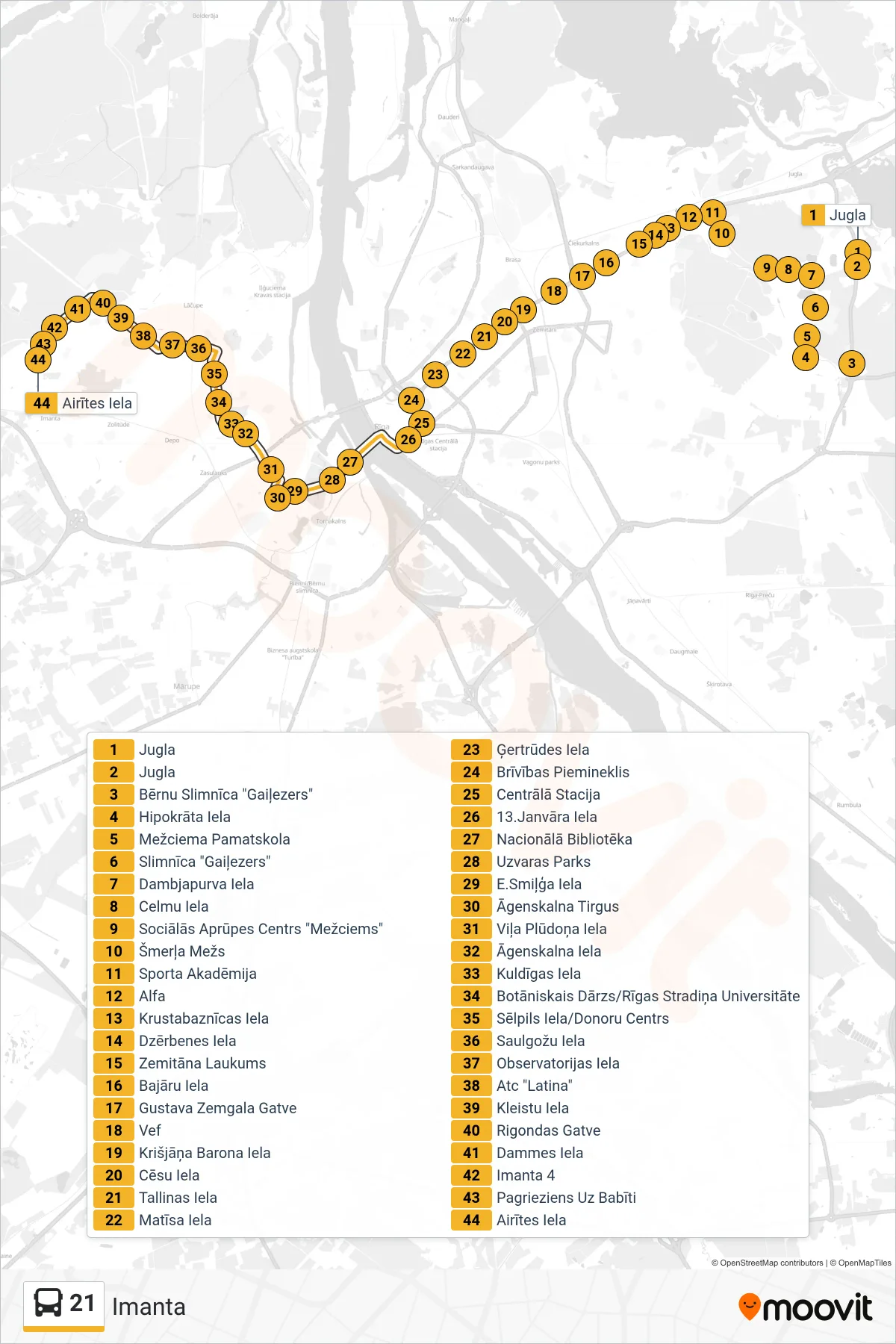
Stops list (21 - Imanta)
- Jugla
- Jugla
- Bērnu Slimnīca "Gaiļezers"
- Hipokrāta Iela
- Mežciema Pamatskola
- Slimnīca "Gaiļezers"
- Dambjapurva Iela
- Celmu Iela
- Sociālās Aprūpes Centrs "Mežciems"
- Šmerļa Mežs
- Sporta Akadēmija
- Alfa
- Krustabaznīcas Iela
- Dzērbenes Iela
- Zemitāna Laukums
- Bajāru Iela
- Gustava Zemgala Gatve
- Vef
- Krišjāņa Barona Iela
- Cēsu Iela
- Tallinas Iela
- Matīsa Iela
- Ģertrūdes Iela
- Brīvības Piemineklis
- Centrālā Stacija
- 13.Janvāra Iela
- Nacionālā Bibliotēka
- Uzvaras Parks
- E.Smiļģa Iela
- Āgenskalna Tirgus
- Viļa Plūdoņa Iela
- Āgenskalna Iela
- Kuldīgas Iela
- Botāniskais Dārzs/Rīgas Stradiņa Universitāte
- Sēlpils Iela/Donoru Centrs
- Saulgožu Iela
- Observatorijas Iela
- Atc "Latina"
- Kleistu Iela
- Rigondas Gatve
- Dammes Iela
- Imanta 4
- Pagrieziens Uz Babīti
- Airītes Iela