
210 Bus Route Map
View the 210 route map and see all 210 stops along the route. The map of 210 shows where the bus travels and the location of each stop, making it easy to understand the entire route at a glance.
Explore Nomad Car (Région Normandie) routes on the map and see where Nomad Car (Région Normandie) bus services operate. Use the 210 map to find bus stops and see how the 210 connects different areas along its trip.
All 210 stops on the map are displayed in route order, helping you follow the 210 bus from the first stop to the last.
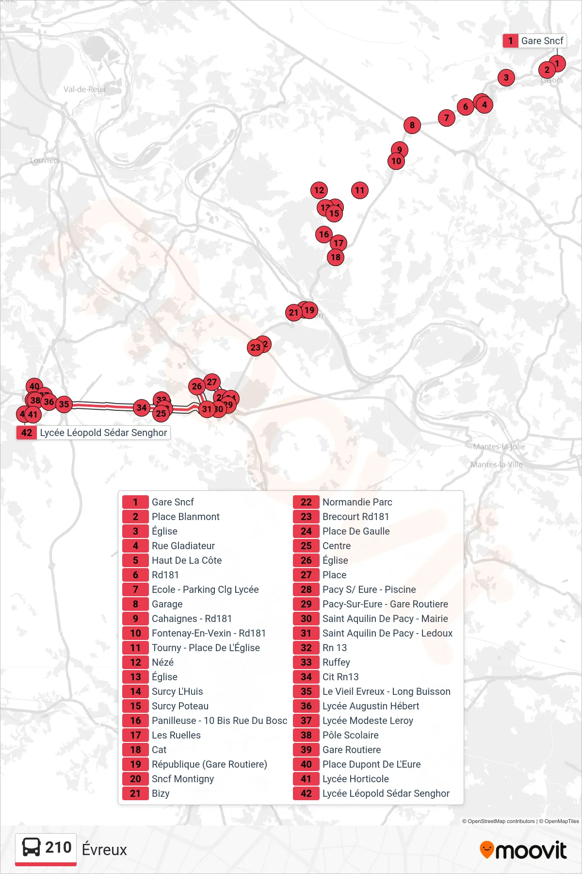

Stops list (210 - Évreux)
- Gare Sncf
- Place Blanmont
- Église
- Rue Gladiateur
- Haut De La Côte
- Rd181
- Ecole - Parking Clg Lycée
- Garage
- Cahaignes - Rd181
- Fontenay-En-Vexin - Rd181
- Tourny - Place De L'Église
- Nézé
- Église
- Surcy L'Huis
- Surcy Poteau
- Panilleuse - 10 Bis Rue Du Bosc
- Les Ruelles
- Cat
- République (Gare Routiere)
- Sncf Montigny
- Bizy
- Normandie Parc
- Brecourt Rd181
- Charles De Gaulle
- Centre
- Église
- Place
- Pacy S/ Eure - Piscine
- Place De Gaulle
- Pacy-Sur-Eure - Gare Routiere
- Saint Aquilin De Pacy - Mairie
- Saint Aquilin De Pacy - Ledoux
- Rn 13
- Ruffey
- Cit Rn13
- Le Vieil Evreux - Long Buisson
- Lycée Augustin Hébert
- Lycée Modeste Leroy
- Pôle Scolaire
- Gare Routiere
- Place Dupont De L'Eure
- Lycée Horticole
- Lycée Léopold Sédar Senghor