
22 Bus Route Map
View the 22 route map and see all 22 stops along the route. The map of 22 shows where the bus travels and the location of each stop, making it easy to understand the entire route at a glance.
Explore Cottbusverkehr routes on the map and see where Cottbusverkehr bus services operate. Use the 22 map to find bus stops and see how the 22 connects different areas along its trip.
All 22 stops on the map are displayed in route order, helping you follow the 22 bus from the first stop to the last.
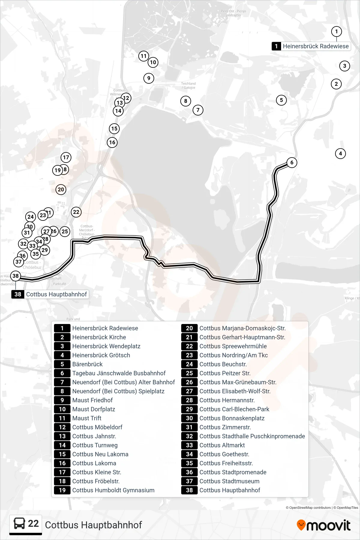
Stops list (22 - Cottbus Hauptbahnhof)
- Heinersbrück Radewiese
- Heinersbrück Kirche
- Heinersbrück Wendeplatz
- Heinersbrück Grötsch
- Bärenbrück
- Tagebau Jänschwalde Busbahnhof
- Neuendorf (Bei Cottbus) Alter Bahnhof
- Neuendorf (Bei Cottbus) Spielplatz
- Maust Friedhof
- Maust Dorfplatz
- Maust Trift
- Cottbus Möbeldorf
- Cottbus Jahnstr.
- Cottbus Turnweg
- Cottbus Neu Lakoma
- Cottbus Lakoma
- Cottbus Kleine Str.
- Cottbus Fröbelstr.
- Cottbus Humboldt Gymnasium
- Cottbus Marjana-Domaskojc-Str.
- Cottbus Gerhart-Hauptmann-Str.
- Cottbus Spreewehrmühle
- Cottbus Nordring/Am Tkc
- Cottbus Beuchstr.
- Cottbus Peitzer Str.
- Cottbus Max-Grünebaum-Str.
- Cottbus Elisabeth-Wolf-Str.
- Cottbus Hermannstr.
- Cottbus Carl-Blechen-Park
- Cottbus Bonnaskenplatz
- Cottbus Zimmerstr.
- Cottbus Stadthalle Puschkinpromenade
- Cottbus Altmarkt
- Cottbus Goethestr.
- Cottbus Freiheitsstr.
- Cottbus Stadtpromenade
- Cottbus Stadtmuseum
- Cottbus Hauptbahnhof