
22 Bus Route Map
View the 22 route map and see all 22 stops along the route. The map of 22 shows where the bus travels and the location of each stop, making it easy to understand the entire route at a glance.
Explore The S routes on the map and see where The S bus services operate. Use the 22 map to find bus stops and see how the 22 connects different areas along its trip.
All 22 stops on the map are displayed in route order, helping you follow the 22 bus from the first stop to the last.
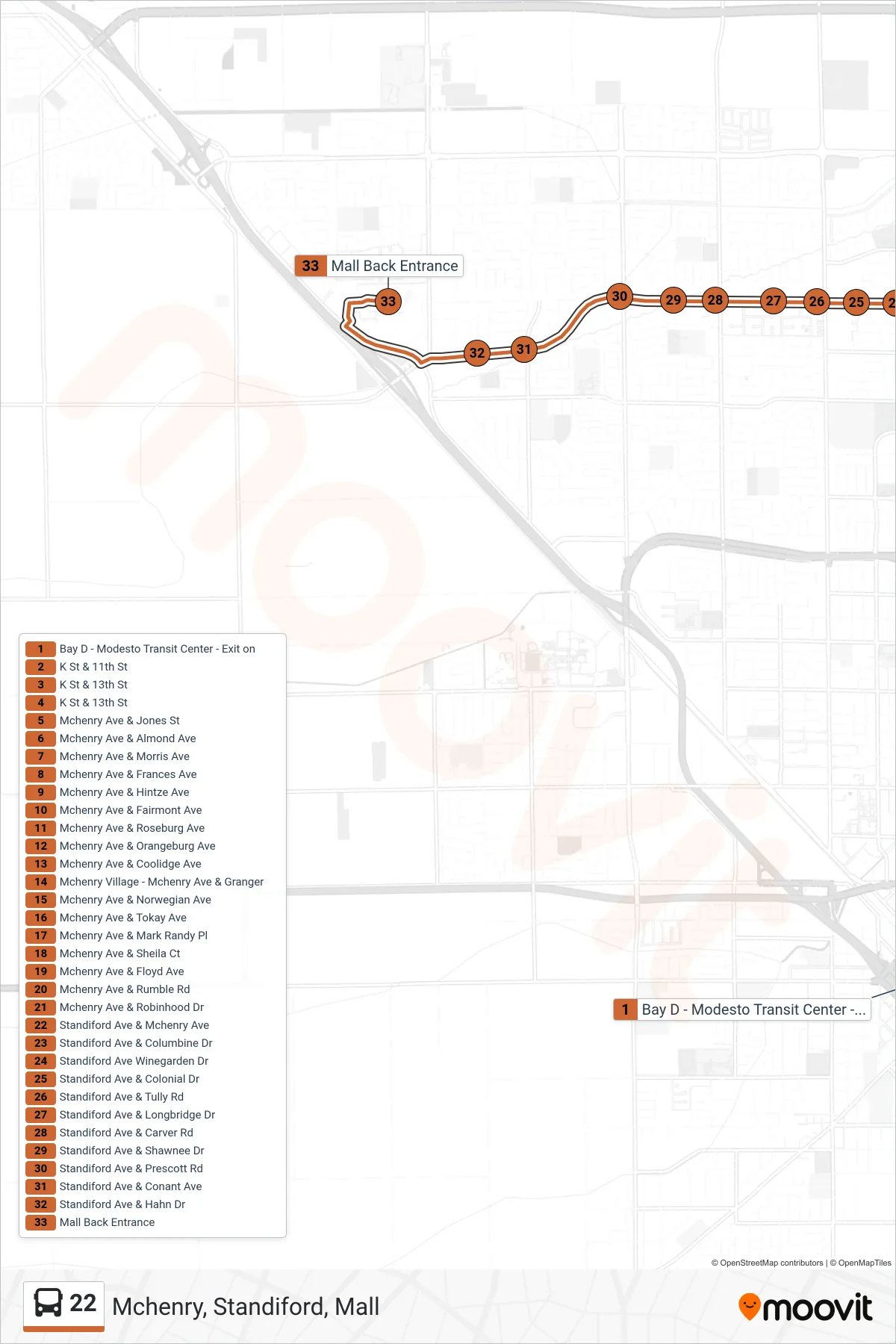
Stops list (22 - Mchenry, Standiford, Mall)
- Bay D - Modesto Transit Center - Exit on
- K St & 11th St
- K St & 13th St
- K St & 13th St
- Mchenry Ave & Jones St
- Mchenry Ave & Almond Ave
- Mchenry Ave & Morris Ave
- Mchenry Ave & Frances Ave
- Mchenry Ave & Hintze Ave
- Mchenry Ave & Fairmont Ave
- Mchenry Ave & Roseburg Ave
- Mchenry Ave & Orangeburg Ave
- Mchenry Ave & Coolidge Ave
- Mchenry Village - Mchenry Ave & Granger
- Mchenry Ave & Norwegian Ave
- Mchenry Ave & Tokay Ave
- Mchenry Ave & Mark Randy Pl
- Mchenry Ave & Sheila Ct
- Mchenry Ave & Floyd Ave
- Mchenry Ave & Rumble Rd
- Mchenry Ave & Robinhood Dr
- Standiford Ave & Mchenry Ave
- Standiford Ave & Columbine Dr
- Standiford Ave Winegarden Dr
- Standiford Ave & Colonial Dr
- Standiford Ave & Tully Rd
- Standiford Ave & Longbridge Dr
- Standiford Ave & Carver Rd
- Standiford Ave & Shawnee Dr
- Standiford Ave & Prescott Rd
- Standiford Ave & Conant Ave
- Standiford Ave & Hahn Dr
- Mall Back Entrance