
220 Bus Route Map
View the 220 route map and see all 220 stops along the route. The map of 220 shows where the bus travels and the location of each stop, making it easy to understand the entire route at a glance.
Explore Bus6 routes on the map and see where Bus6 bus services operate. Use the 220 map to find bus stops and see how the 220 connects different areas along its trip.
All 220 stops on the map are displayed in route order, helping you follow the 220 bus from the first stop to the last.
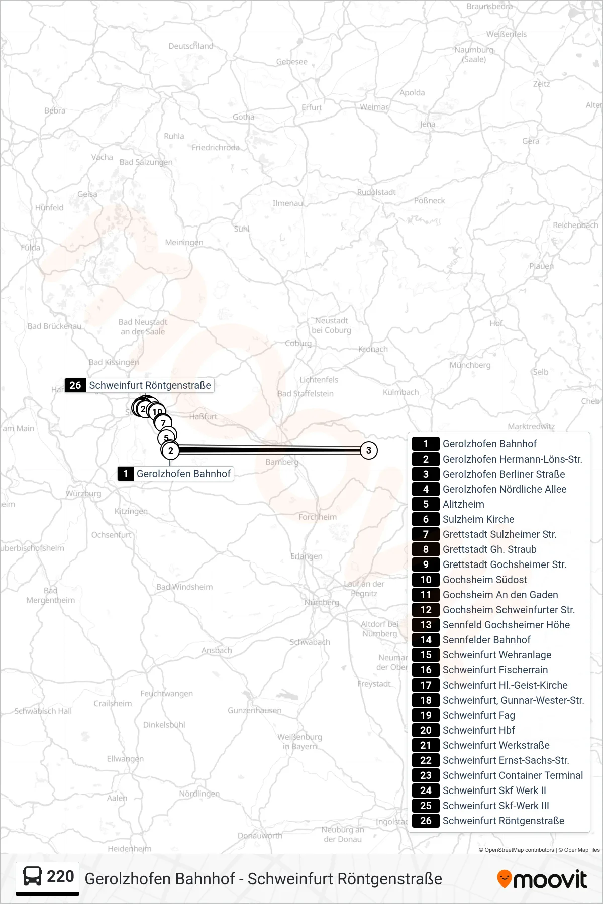
Stops list (220 - Schweinfurt Röntgenstraße)
- Gerolzhofen Bahnhof
- Gerolzhofen Hermann-Löns-Str.
- Gerolzhofen Berliner Straße
- Gerolzhofen Nördliche Allee
- Alitzheim
- Sulzheim Kirche
- Grettstadt Sulzheimer Str.
- Grettstadt Gh. Straub
- Grettstadt Gochsheimer Str.
- Gochsheim Südost
- Gochsheim An den Gaden
- Gochsheim Schweinfurter Str.
- Sennfeld Gochsheimer Höhe
- Sennfelder Bahnhof
- Schweinfurt Wehranlage
- Schweinfurt Fischerrain
- Schweinfurt Hl.-Geist-Kirche
- Schweinfurt, Gunnar-Wester-Str.
- Schweinfurt Fag
- Schweinfurt Hbf
- Schweinfurt Werkstraße
- Schweinfurt Ernst-Sachs-Str.
- Schweinfurt Container Terminal
- Schweinfurt Skf Werk II
- Schweinfurt Skf-Werk III
- Schweinfurt Röntgenstraße