
221 Bus Route Map
View the 221 route map and see all 221 stops along the route. The map of 221 shows where the bus travels and the location of each stop, making it easy to understand the entire route at a glance.
Explore BVG routes on the map and see where BVG bus services operate. Use the 221 map to find bus stops and see how the 221 connects different areas along its trip.
All 221 stops on the map are displayed in route order, helping you follow the 221 bus from the first stop to the last.
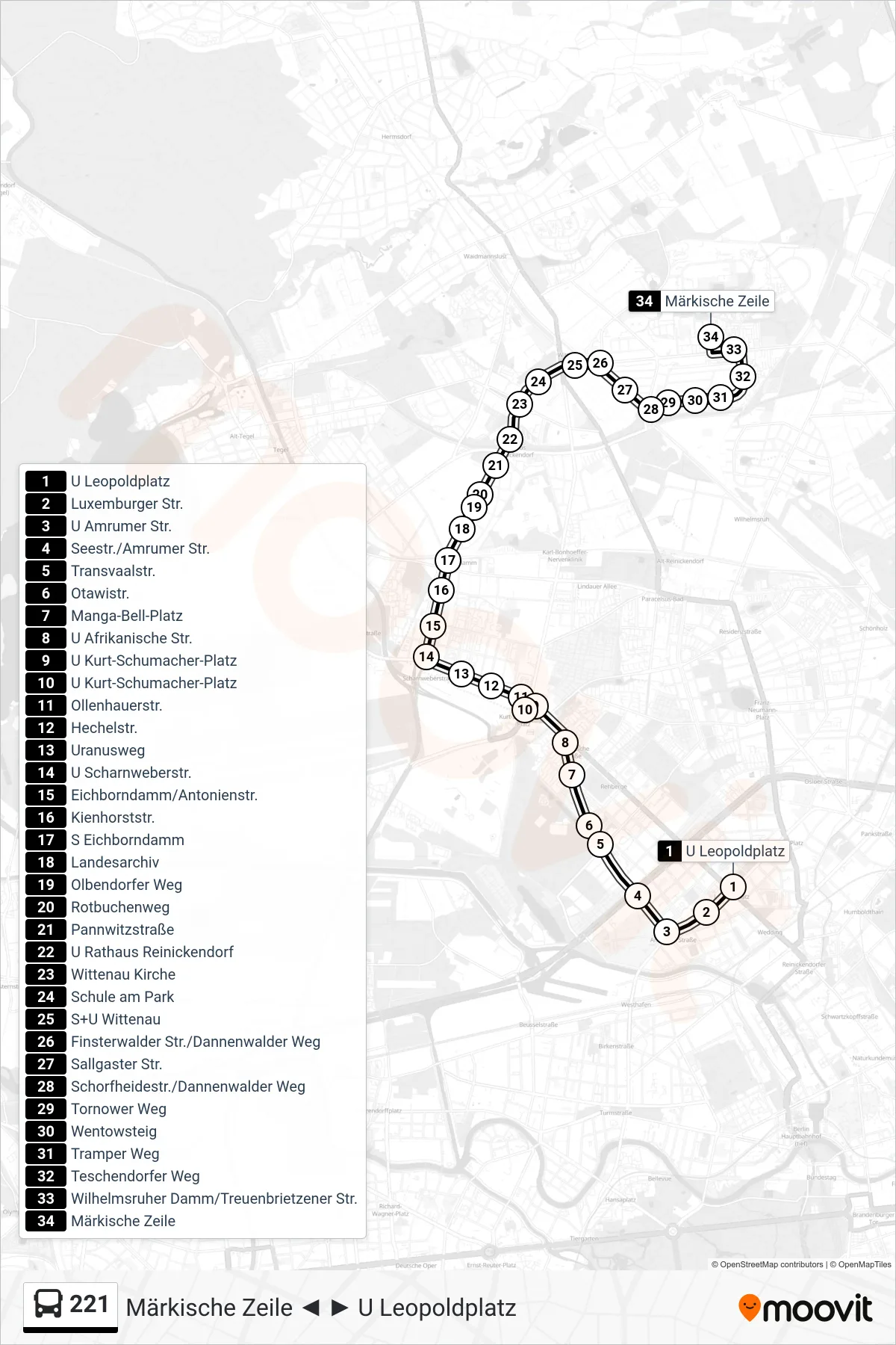

Stops list (221 - Märkische Zeile)
- U Leopoldplatz
- Luxemburger Str.
- U Amrumer Str.
- Seestr./Amrumer Str.
- Transvaalstr.
- Otawistr.
- Manga-Bell-Platz
- U Afrikanische Str.
- U Kurt-Schumacher-Platz
- Ollenhauerstr.
- Hechelstr.
- Uranusweg
- U Scharnweberstr.
- Eichborndamm/Antonienstr.
- Kienhorststr.
- S Eichborndamm
- Landesarchiv
- Olbendorfer Weg
- Rotbuchenweg
- Pannwitzstraße
- U Rathaus Reinickendorf
- Wittenau Kirche
- Schule am Park
- S+U Wittenau
- Finsterwalder Str./Dannenwalder Weg
- Sallgaster Str.
- Schorfheidestr./Dannenwalder Weg
- Tornower Weg
- Wentowsteig
- Tramper Weg
- Teschendorfer Weg
- Wilhelmsruher Damm/Treuenbrietzener Str.
- Märkische Zeile