
23 Bus Route Map
View the 23 route map and see all 23 stops along the route. The map of 23 shows where the bus travels and the location of each stop, making it easy to understand the entire route at a glance.
Explore Cottbusverkehr routes on the map and see where Cottbusverkehr bus services operate. Use the 23 map to find bus stops and see how the 23 connects different areas along its trip.
All 23 stops on the map are displayed in route order, helping you follow the 23 bus from the first stop to the last.
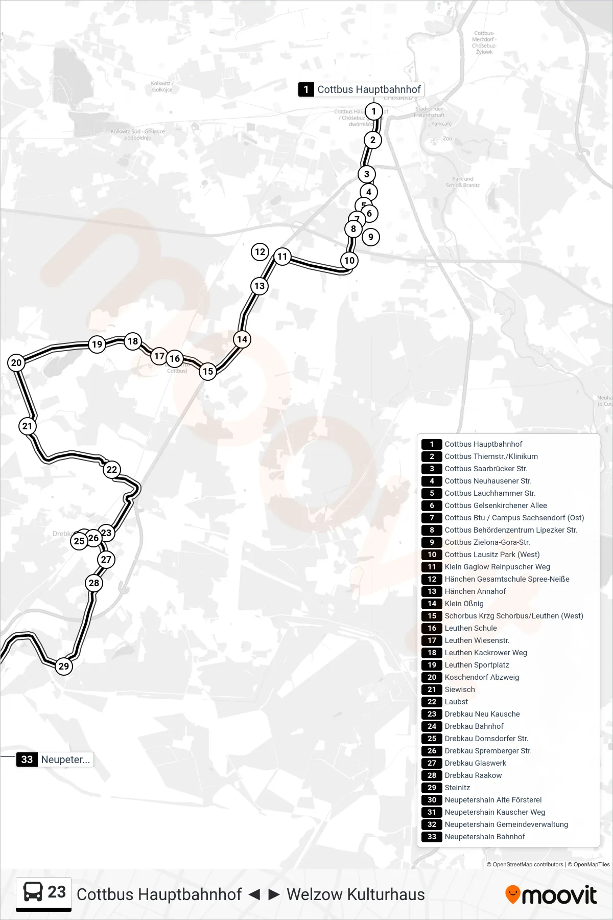
Stops list (23 - Neupetershain Bahnhof)
- Cottbus Hauptbahnhof
- Cottbus Thiemstr./Klinikum
- Cottbus Saarbrücker Str.
- Cottbus Neuhausener Str.
- Cottbus Lauchhammer Str.
- Cottbus Gelsenkirchener Allee
- Cottbus Btu / Campus Sachsendorf (Ost)
- Cottbus Behördenzentrum Lipezker Str.
- Cottbus Zielona-Gora-Str.
- Cottbus Lausitz Park (West)
- Klein Gaglow Reinpuscher Weg
- Hänchen Gesamtschule Spree-Neiße
- Hänchen Annahof
- Klein Oßnig
- Schorbus Krzg Schorbus/Leuthen (West)
- Leuthen Schule
- Leuthen Wiesenstr.
- Leuthen Kackrower Weg
- Leuthen Sportplatz
- Koschendorf Abzweig
- Siewisch
- Laubst
- Drebkau Neu Kausche
- Drebkau Bahnhof
- Drebkau Domsdorfer Str.
- Drebkau Spremberger Str.
- Drebkau Glaswerk
- Drebkau Raakow
- Steinitz
- Neupetershain Alte Försterei
- Neupetershain Kauscher Weg
- Neupetershain Gemeindeverwaltung
- Neupetershain Bahnhof