
23 Bus Route Map
View the 23 route map and see all 23 stops along the route. The map of 23 shows where the bus travels and the location of each stop, making it easy to understand the entire route at a glance.
Explore Regional Transportation District routes on the map and see where Regional Transportation District bus services operate. Use the 23 map to find bus stops and see how the 23 connects different areas along its trip.
All 23 stops on the map are displayed in route order, helping you follow the 23 bus from the first stop to the last.
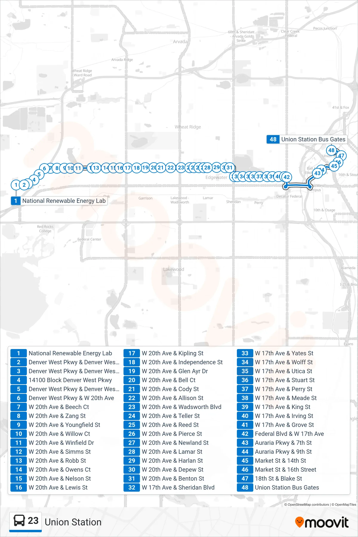
Stops list (23 - Union Station)
- National Renewable Energy Lab
- Denver West Pkwy & Denver West Dr
- Denver West Pkwy & Denver West Blvd
- 14100 Block Denver West Pkwy
- Denver West Pkwy & Denver West Cir
- Denver West Pkwy & W 20th Ave
- W 20th Ave & Beech Ct
- W 20th Ave & Zang St
- W 20th Ave & Youngfield St
- W 20th Ave & Willow Ct
- W 20th Ave & Winfield Dr
- W 20th Ave & Simms St
- W 20th Ave & Robb St
- W 20th Ave & Owens Ct
- W 20th Ave & Nelson St
- W 20th Ave & Lewis St
- W 20th Ave & Kipling St
- W 20th Ave & Independence St
- W 20th Ave & Glen Ayr Dr
- W 20th Ave & Bell Ct
- W 20th Ave & Cody St
- W 20th Ave & Allison St
- W 20th Ave & Wadsworth Blvd
- W 20th Ave & Teller St
- W 20th Ave & Reed St
- W 20th Ave & Pierce St
- W 20th Ave & Newland St
- W 20th Ave & Lamar St
- W 20th Ave & Harlan St
- W 20th Ave & Depew St
- W 20th Ave & Benton St
- W 17th Ave & Sheridan Blvd
- W 17th Ave & Yates St
- W 17th Ave & Wolff St
- W 17th Ave & Utica St
- W 17th Ave & Stuart St
- W 17th Ave & Perry St
- W 17th Ave & Meade St
- W 17th Ave & King St
- W 17th Ave & Irving St
- W 17th Ave & Grove St
- Federal Blvd & W 17th Ave
- Auraria Pkwy & 7th St
- Auraria Pkwy & 9th St
- Market St & 14th St
- Market St & 16th Street
- 18th St & Blake St
- Union Station Bus Gates