
24 Bus Route Map
View the 24 route map and see all 24 stops along the route. The map of 24 shows where the bus travels and the location of each stop, making it easy to understand the entire route at a glance.
Explore Regional Transportation District routes on the map and see where Regional Transportation District bus services operate. Use the 24 map to find bus stops and see how the 24 connects different areas along its trip.
All 24 stops on the map are displayed in route order, helping you follow the 24 bus from the first stop to the last.
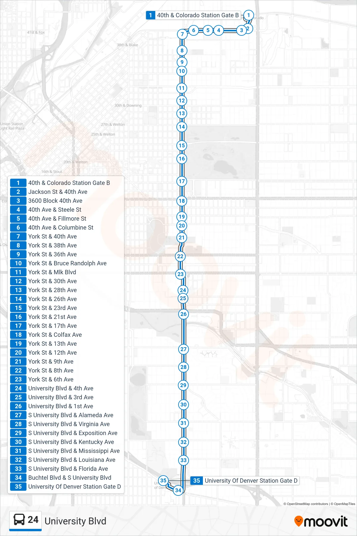
Stops list (24 - Denver University Stn)
- 40th & Colorado Station Gate B
- Jackson St & 40th Ave
- 3600 Block 40th Ave
- 40th Ave & Steele St
- 40th Ave & Fillmore St
- 40th Ave & Columbine St
- York St & 40th Ave
- York St & 38th Ave
- York St & 36th Ave
- York St & Bruce Randolph Ave
- York St & Mlk Blvd
- York St & 30th Ave
- York St & 28th Ave
- York St & 26th Ave
- York St & 23rd Ave
- York St & 21st Ave
- York St & 17th Ave
- York St & Colfax Ave
- York St & 13th Ave
- York St & 12th Ave
- York St & 9th Ave
- York St & 8th Ave
- York St & 6th Ave
- University Blvd & 4th Ave
- University Blvd & 3rd Ave
- University Blvd & 1st Ave
- S University Blvd & Alameda Ave
- S University Blvd & Virginia Ave
- S University Blvd & Exposition Ave
- S University Blvd & Kentucky Ave
- S University Blvd & Mississippi Ave
- S University Blvd & Louisiana Ave
- S University Blvd & Florida Ave
- Buchtel Blvd & S University Blvd
- University Of Denver Station Gate D