
24 Bus Route Map
View the 24 route map and see all 24 stops along the route. The map of 24 shows where the bus travels and the location of each stop, making it easy to understand the entire route at a glance.
Explore The S routes on the map and see where The S bus services operate. Use the 24 map to find bus stops and see how the 24 connects different areas along its trip.
All 24 stops on the map are displayed in route order, helping you follow the 24 bus from the first stop to the last.
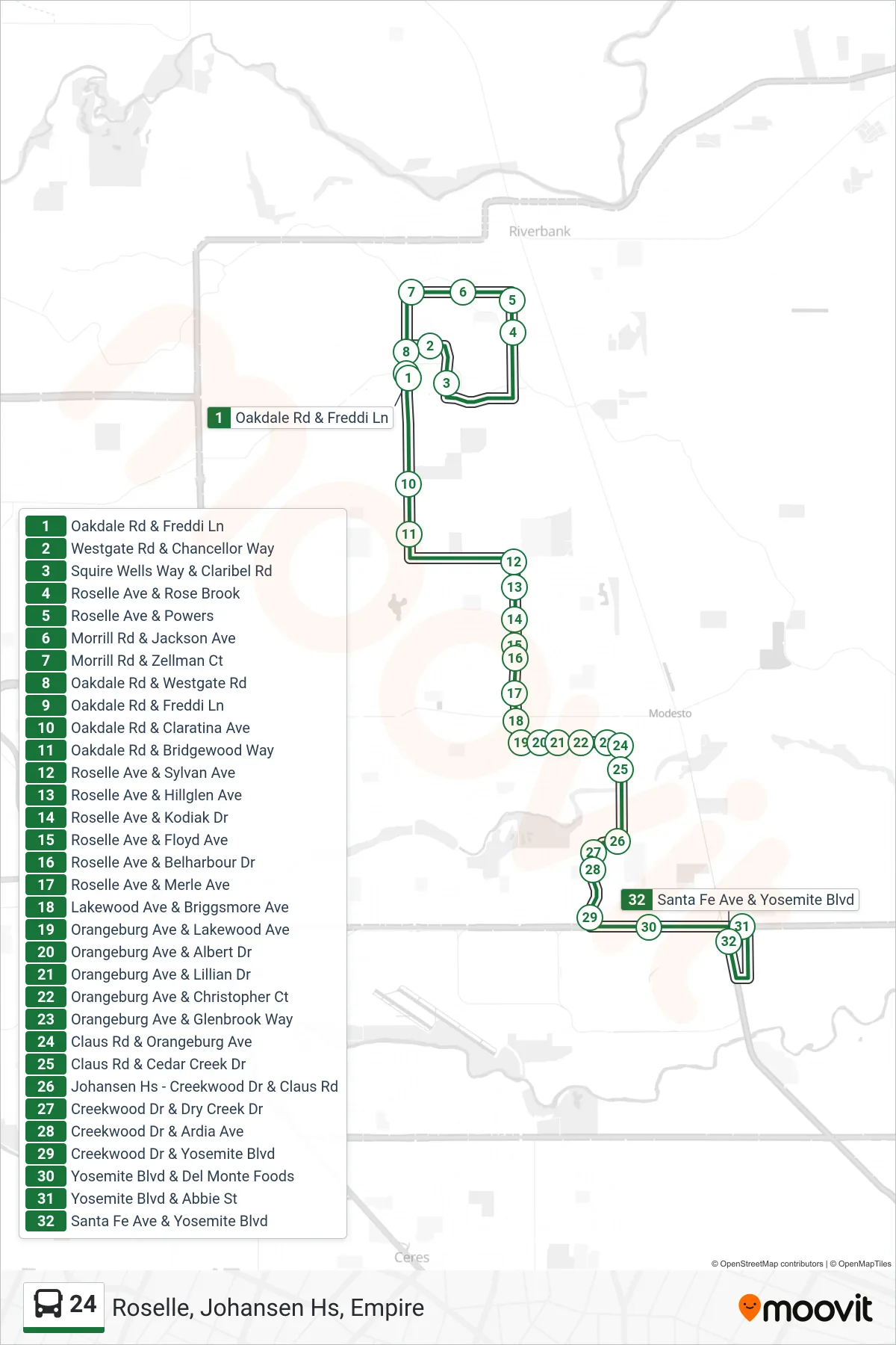
Stops list (24 - Roselle, Johansen Hs, Empire)
- Oakdale Rd & Freddi Ln
- Westgate Rd & Chancellor Way
- Squire Wells Way & Claribel Rd
- Roselle Ave & Rose Brook
- Roselle Ave & Powers
- Morrill Rd & Jackson Ave
- Morrill Rd & Zellman Ct
- Oakdale Rd & Westgate Rd
- Oakdale Rd & Freddi Ln
- Oakdale Rd & Claratina Ave
- Oakdale Rd & Bridgewood Way
- Roselle Ave & Sylvan Ave
- Roselle Ave & Hillglen Ave
- Roselle Ave & Kodiak Dr
- Roselle Ave & Floyd Ave
- Roselle Ave & Belharbour Dr
- Roselle Ave & Merle Ave
- Lakewood Ave & Briggsmore Ave
- Orangeburg Ave & Lakewood Ave
- Orangeburg Ave & Albert Dr
- Orangeburg Ave & Lillian Dr
- Orangeburg Ave & Christopher Ct
- Orangeburg Ave & Glenbrook Way
- Claus Rd & Orangeburg Ave
- Claus Rd & Cedar Creek Dr
- Johansen Hs - Creekwood Dr & Claus Rd
- Creekwood Dr & Dry Creek Dr
- Creekwood Dr & Ardia Ave
- Creekwood Dr & Yosemite Blvd
- Yosemite Blvd & Del Monte Foods
- Yosemite Blvd & Abbie St
- Santa Fe Ave & Yosemite Blvd