
24 Bus Route Map
View the 24 route map and see all 24 stops along the route. The map of 24 shows where the bus travels and the location of each stop, making it easy to understand the entire route at a glance.
Explore KBS routes on the map and see where KBS bus services operate. Use the 24 map to find bus stops and see how the 24 connects different areas along its trip.
All 24 stops on the map are displayed in route order, helping you follow the 24 bus from the first stop to the last.
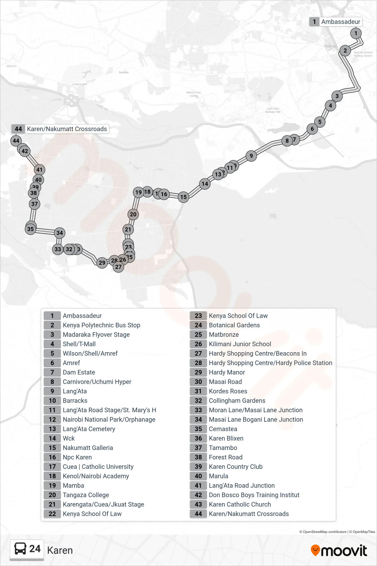
Stops list (24 - Karen)
- Ambassadeur
- Kenya Polytechnic Bus Stop
- Madaraka Flyover Stage
- Shell/T-Mall
- Wilson/Shell/Amref
- Amref
- Dam Estate
- Carnivore/Uchumi Hyper
- Lang'Ata
- Barracks
- Lang'Ata Road Stage/St. Mary's H
- Nairobi National Park/Orphanage
- Lang'Ata Cemetery
- Wck
- Nakumatt Galleria
- Npc Karen
- Cuea | Catholic University
- Kenol/Nairobi Academy
- Mamba
- Tangaza College
- Karengata/Cuea/Jkuat Stage
- Kenya School Of Law
- Kenya School Of Law
- Botanical Gardens
- Matbronze
- Kilimani Junior School
- Hardy Shopping Centre/Beacons In
- Hardy Shopping Centre/Hardy Police Station
- Hardy Manor
- Masai Road
- Kordes Roses
- Collingham Gardens
- Moran Lane/Masai Lane Junction
- Masai Lane Bogani Lane Junction
- Cemastea
- Karen Blixen
- Tamambo
- Forest Road
- Karen Country Club
- Marula
- Lang'Ata Road Junction
- Don Bosco Boys Training Institut
- Karen Catholic Church
- Karen/Nakumatt Crossroads