
25 Bus Route Map
View the 25 route map and see all 25 stops along the route. The map of 25 shows where the bus travels and the location of each stop, making it easy to understand the entire route at a glance.
Explore TriMet routes on the map and see where TriMet bus services operate. Use the 25 map to find bus stops and see how the 25 connects different areas along its trip.
All 25 stops on the map are displayed in route order, helping you follow the 25 bus from the first stop to the last.
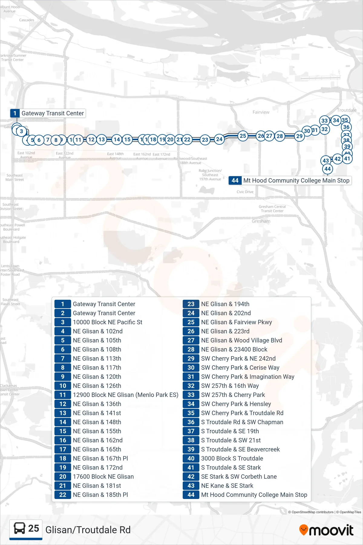
Stops list (25 - Mt Hood Community College Main Stop)
- Gateway Transit Center
- Gateway Transit Center
- 10000 Block NE Pacific St
- NE Glisan & 102nd
- NE Glisan & 105th
- NE Glisan & 108th
- NE Glisan & 113th
- NE Glisan & 117th
- NE Glisan & 120th
- NE Glisan & 126th
- 12900 Block NE Glisan (Menlo Park ES)
- NE Glisan & 136th
- NE Glisan & 141st
- NE Glisan & 148th
- NE Glisan & 155th
- NE Glisan & 162nd
- NE Glisan & 165th
- NE Glisan & 167th Pl
- NE Glisan & 172nd
- 17600 Block NE Glisan
- NE Glisan & 181st
- NE Glisan & 185th Pl
- NE Glisan & 194th
- NE Glisan & 202nd
- NE Glisan & Fairview Pkwy
- NE Glisan & 223rd
- NE Glisan & Wood Village Blvd
- NE Glisan & 23400 Block
- SW Cherry Park & NE 242nd
- SW Cherry Park & Cerise Way
- SW Cherry Park & Imagination Way
- SW 257th & 16th Way
- SW 257th & Cherry Park
- SW Cherry Park & Hensley
- SW Cherry Park & Troutdale Rd
- S Troutdale Rd & SW Chapman
- S Troutdale & SE 19th
- S Troutdale & SW 21st
- S Troutdale & SE Beavercreek
- 3000 Block S Troutdale
- S Troutdale & SE Stark
- SE Stark & SW Corbeth Lane
- NE Kane & SE Stark
- Mt Hood Community College Main Stop