
26 Bus Route Map
View the 26 route map and see all 26 stops along the route. The map of 26 shows where the bus travels and the location of each stop, making it easy to understand the entire route at a glance.
Explore Athens Clarke County Transit routes on the map and see where Athens Clarke County Transit bus services operate. Use the 26 map to find bus stops and see how the 26 connects different areas along its trip.
All 26 stops on the map are displayed in route order, helping you follow the 26 bus from the first stop to the last.
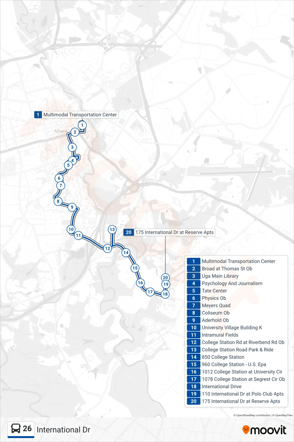
Stops list (26 - International Dr)
- Multimodal Transportation Center
- Broad at Thomas St Ob
- Uga Main Library
- Psychology And Journalism
- Tate Center
- Physics Ob
- Meyers Quad
- Coliseum Ob
- Aderhold Ob
- University Village Building K
- Intramural Fields
- College Station Rd at Riverbend Rd Ob
- College Station Road Park & Ride
- 850 College Station
- 960 College Station - U.S. Epa
- 1012 College Station at University Cir
- 1078 College Station at Segrest Cir Ob
- International Drive
- 110 International Dr at Polo Club Apts
- 175 International Dr at Reserve Apts