
26 Bus Route Map
View the 26 route map and see all 26 stops along the route. The map of 26 shows where the bus travels and the location of each stop, making it easy to understand the entire route at a glance.
Explore Prato and Province - Tuscan Bus Lines routes on the map and see where Prato and Province - Tuscan Bus Lines bus services operate. Use the 26 map to find bus stops and see how the 26 connects different areas along its trip.
All 26 stops on the map are displayed in route order, helping you follow the 26 bus from the first stop to the last.
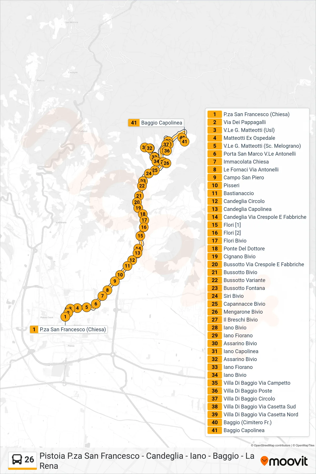
Stops list (26 - Baggio Terminal)
- San Francesco Square (Church)
- Pappagalli Street
- Matteotti Avenue (Health Center)
- Matteotti Former Hospital
- G. Matteotti Avenue (Melograno School)
- San Marco Gate Antonelli Avenue
- Immacolata Church
- Le Fornaci Via Antonelli
- San Piero Square
- Pisseri
- Bastianaccio
- Candeglia Circle
- Candeglia Terminal
- Candeglia Via Crespole and Fabbriche
- Flori [1]
- Flori [2]
- Flori Junction
- Doctor's Bridge
- Cignano Junction
- Bussotto Via Crespole and Fabbriche
- Bussotto Junction
- Bussotto Bypass
- Bussotto Fountain
- Siri Junction
- Capannacce Junction
- Mengarone Junction
- Il Breschi Junction
- Iano Junction
- Iano Fiorano
- Assarino Junction
- Iano Terminal
- Assarino Junction
- Iano Fiorano
- Iano Junction
- Villa Di Baggio Campetto Street
- Villa Di Baggio Post Office
- Villa Di Baggio Club
- Villa Di Baggio South Casetta Road
- Villa Di Baggio North Casetta Street
- Baggio (Cemetery)
- Baggio Terminal