
278 S-Bahn Route Map
View the 278 route map and see all 278 stops along the route. The map of 278 shows where the S-Bahn travels and the location of each stop, making it easy to understand the entire route at a glance.
Explore Kommunalverkehr Rhein-Nahe routes on the map and see where Kommunalverkehr Rhein-Nahe S-Bahn services operate. Use the 278 map to find S-Bahn stations and see how the 278 connects different areas along its trip.
All 278 stops on the map are displayed in route order, helping you follow the 278 S-Bahn from the first station to the last.
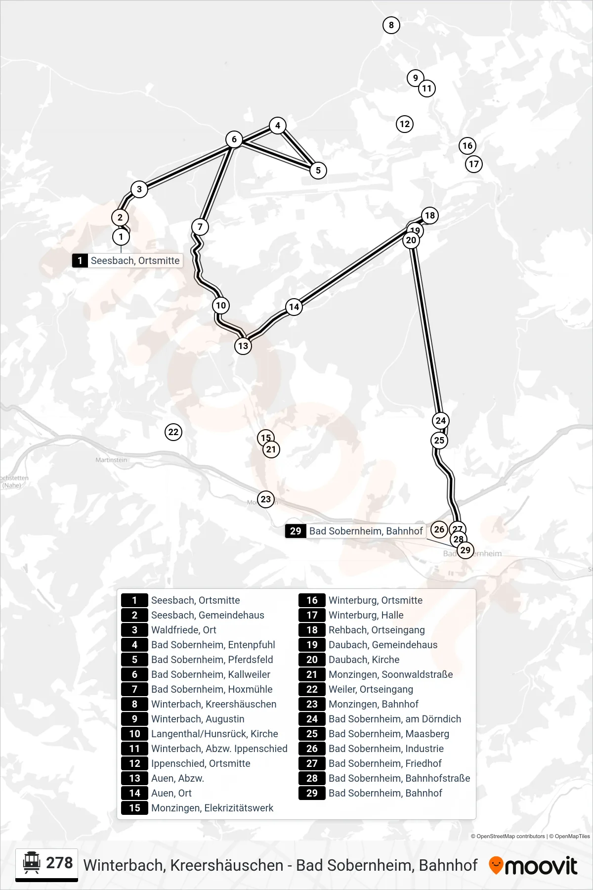
Stops list (278 - Bad Sobernheim, Bahnhof)
- Seesbach, Ortsmitte
- Seesbach, Gemeindehaus
- Waldfriede, Ort
- Bad Sobernheim, Entenpfuhl
- Bad Sobernheim, Pferdsfeld
- Bad Sobernheim, Kallweiler
- Bad Sobernheim, Hoxmühle
- Winterbach, Kreershäuschen
- Winterbach, Augustin
- Langenthal/Hunsrück, Kirche
- Winterbach, Abzw. Ippenschied
- Ippenschied, Ortsmitte
- Auen, Abzw.
- Auen, Ort
- Monzingen, Elekrizitätswerk
- Winterburg, Ortsmitte
- Winterburg, Halle
- Rehbach, Ortseingang
- Daubach, Gemeindehaus
- Daubach, Kirche
- Monzingen, Soonwaldstraße
- Weiler, Ortseingang
- Monzingen, Bahnhof
- Bad Sobernheim, am Dörndich
- Bad Sobernheim, Maasberg
- Bad Sobernheim, Industrie
- Bad Sobernheim, Friedhof
- Bad Sobernheim, Bahnhofstraße
- Bad Sobernheim, Bahnhof