
27D Bus Route Map
View the 27D route map and see all 27D stops along the route. The map of 27D shows where the bus travels and the location of each stop, making it easy to understand the entire route at a glance.
Explore Transport Board routes on the map and see where Transport Board bus services operate. Use the 27D map to find bus stops and see how the 27D connects different areas along its trip.
All 27D stops on the map are displayed in route order, helping you follow the 27D bus from the first stop to the last.
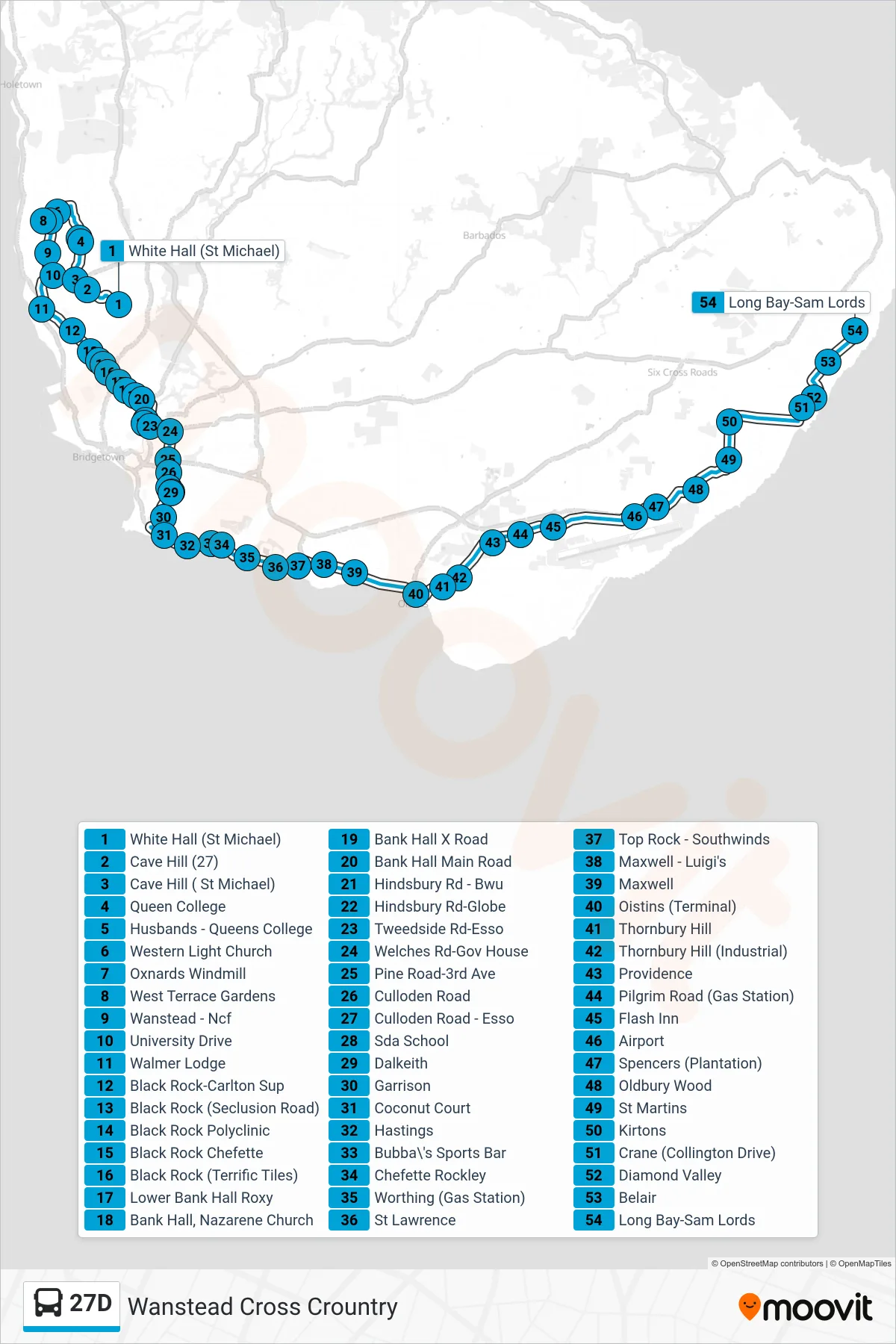
Stops list (27D - Wanstead To Sam Lords Castle)
- White Hall (St Michael)
- Cave Hill (27)
- Cave Hill ( St Michael)
- Queen College
- Husbands - Queens College
- Western Light Church
- Oxnards Windmill
- West Terrace Gardens
- Wanstead - Ncf
- University Drive
- Walmer Lodge
- Black Rock-Carlton Sup
- Black Rock (Seclusion Road)
- Black Rock Polyclinic
- Black Rock Chefette
- Black Rock (Terrific Tiles)
- Lower Bank Hall Roxy
- Bank Hall, Nazarene Church
- Bank Hall X Road
- Bank Hall Main Road
- Hindsbury Rd - Bwu
- Hindsbury Rd-Globe
- Tweedside Rd-Esso
- Welches Rd-Gov House
- Pine Road-3rd Ave
- Culloden Road
- Culloden Road - Esso
- Sda School
- Dalkeith
- Garrison
- Coconut Court
- Hastings
- Bubba\'s Sports Bar
- Chefette Rockley
- Worthing (Gas Station)
- St Lawrence
- Top Rock - Southwinds
- Maxwell - Luigi's
- Maxwell
- Oistins (Terminal)
- Thornbury Hill
- Thornbury Hill (Industrial)
- Providence
- Pilgrim Road (Gas Station)
- Flash Inn
- Airport
- Spencers (Plantation)
- Oldbury Wood
- St Martins
- Kirtons
- Crane (Collington Drive)
- Diamond Valley
- Belair
- Long Bay-Sam Lords