
28 Bus Route Map
View the 28 route map and see all 28 stops along the route. The map of 28 shows where the bus travels and the location of each stop, making it easy to understand the entire route at a glance.
Explore Nahverkehr Hohenlohekreis routes on the map and see where Nahverkehr Hohenlohekreis bus services operate. Use the 28 map to find bus stops and see how the 28 connects different areas along its trip.
All 28 stops on the map are displayed in route order, helping you follow the 28 bus from the first stop to the last.
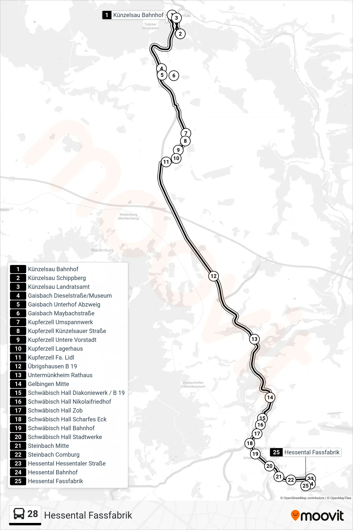
Stops list (28 - Hessental Fassfabrik)
- Künzelsau Bahnhof
- Künzelsau Schippberg
- Künzelsau Landratsamt
- Gaisbach Dieselstraße/Museum
- Gaisbach Unterhof Abzweig
- Gaisbach Maybachstraße
- Kupferzell Umspannwerk
- Kupferzell Künzelsauer Straße
- Kupferzell Untere Vorstadt
- Kupferzell Lagerhaus
- Kupferzell Fa. Lidl
- Übrigshausen B 19
- Untermünkheim Rathaus
- Gelbingen Mitte
- Schwäbisch Hall Diakoniewerk / B 19
- Schwäbisch Hall Nikolaifriedhof
- Schwäbisch Hall Zob
- Schwäbisch Hall Scharfes Eck
- Schwäbisch Hall Bahnhof
- Schwäbisch Hall Stadtwerke
- Steinbach Mitte
- Steinbach Comburg
- Hessental Hessentaler Straße
- Hessental Bahnhof
- Hessental Fassfabrik