
29 Bus Route Map
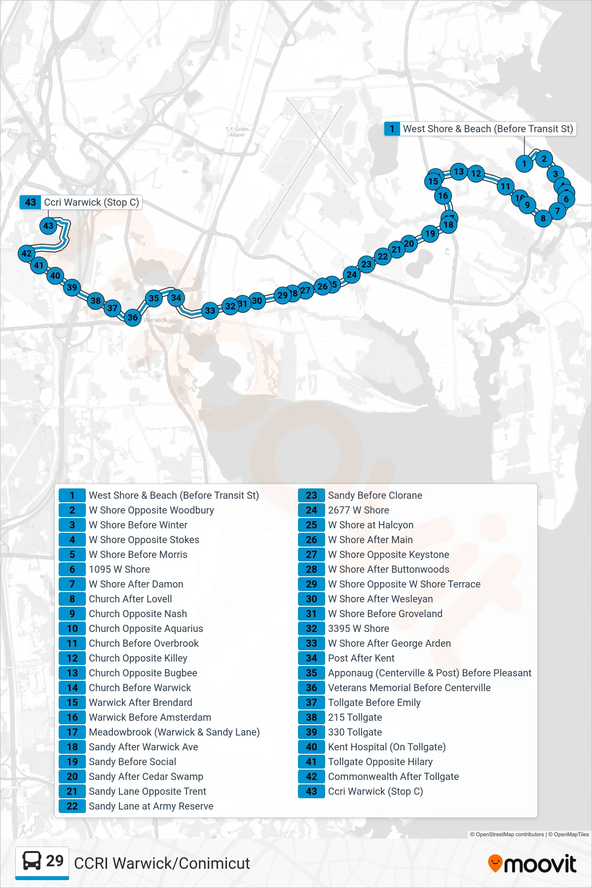
View the 29 route map and see all 29 stops along the route. The map of 29 shows where the bus travels and the location of each stop, making it easy to understand the entire route at a glance.
Explore Rhode Island Public Transit Authority routes on the map and see where Rhode Island Public Transit Authority bus services operate. Use the 29 map to find bus stops and see how the 29 connects different areas along its trip.
All 29 stops on the map are displayed in route order, helping you follow the 29 bus from the first stop to the last.
Stops list (29 - Ccri Warwick)
- West Shore & Beach (Before Transit St)
- W Shore Opposite Woodbury
- W Shore Before Winter
- W Shore Opposite Stokes
- W Shore Before Morris
- 1095 W Shore
- W Shore After Damon
- Church After Lovell
- Church Opposite Nash
- Church Opposite Aquarius
- Church Before Overbrook
- Church Opposite Killey
- Church Opposite Bugbee
- Church Before Warwick
- Warwick After Brendard
- Warwick Before Amsterdam
- Meadowbrook (Warwick & Sandy Lane)
- Sandy After Warwick Ave
- Sandy Before Social
- Sandy After Cedar Swamp
- Sandy Lane Opposite Trent
- Sandy Lane at Army Reserve
- Sandy Before Clorane
- 2677 W Shore
- W Shore at Halcyon
- W Shore After Main
- W Shore Opposite Keystone
- W Shore After Buttonwoods
- W Shore Opposite W Shore Terrace
- W Shore After Wesleyan
- W Shore Before Groveland
- 3395 W Shore
- W Shore After George Arden
- Post After Kent
- Apponaug (Centerville & Post) Before Pleasant
- Veterans Memorial Before Centerville
- Tollgate Before Emily
- 215 Tollgate
- 330 Tollgate
- Kent Hospital (On Tollgate)
- Tollgate Opposite Hilary
- Commonwealth After Tollgate
- Ccri Warwick (Stop C)