
294 Bus Route Map
View the 294 route map and see all 294 stops along the route. The map of 294 shows where the bus travels and the location of each stop, making it easy to understand the entire route at a glance.
Explore Kavim routes on the map and see where Kavim bus services operate. Use the 294 map to find bus stops and see how the 294 connects different areas along its trip.
All 294 stops on the map are displayed in route order, helping you follow the 294 bus from the first stop to the last.
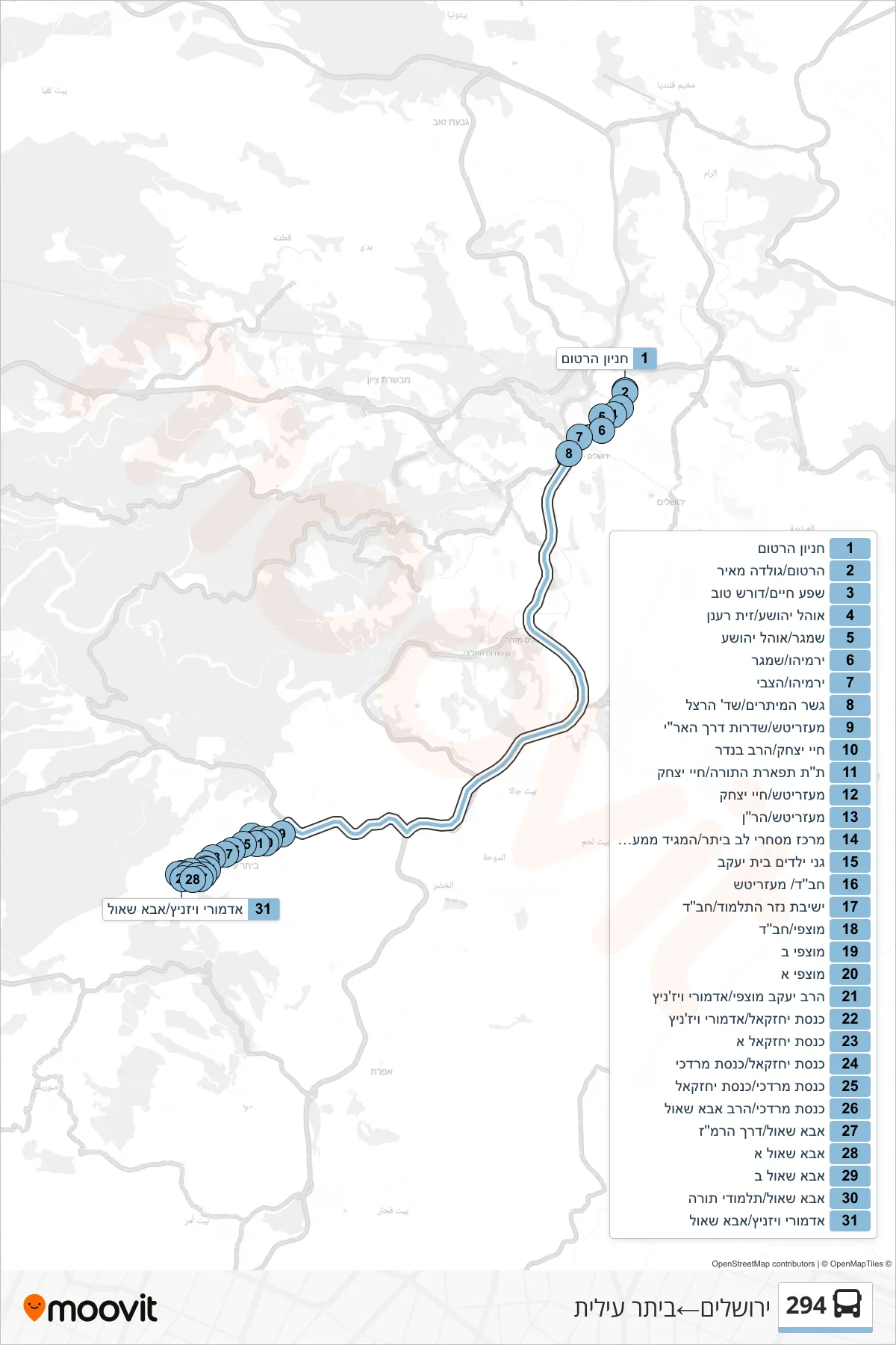
Stops list (294 - Jerusalem→Beitar Illit)
- Hartom Parking
- Hartom/Golda Meir
- Shefa Chaim/Doresh Tov
- Ohel Yehoshua/Zayit Ra'anan
- Shamgar/Ohel Yehoshua
- Yirmiyahu/Shamgar
- Yirmiyahu/HaTzvi
- String Bridge/Herzl Boulevard
- Mezeritch/HaAri Boulevard
- Chai Yitzhak/HaRav Bender
- Tiferet HaTorah School/Chayei Yitzchak
- Mezeritch/Chayei Yitzhak
- Mezeritch/HaRan
- Beitar Commercial Center/Maggid of Mezeritch
- Beit Yaakov Kindergartens
- Chabad/Mezeritch
- Nezer HaTalmud Yeshiva/Chabad
- Matzafi/Chabad
- Motzafi B
- Motzafi A
- Rabbi Yaakov Mutzafi/Admor Vizhnitz
- Knesset Yehezkel/Admor Viznitz
- Knesset Yechezkel A
- Knesset Yechezkel/Knesset Mordechai
- Knesset Mordechai/Knesset Yechezkel
- Knesset Mordechai/HaRav Abba Shaul
- Abba Shaul/Ramaz Road
- Abba Shaul A
- Abba Shaul B
- Abba Shaul/Talmudei Torah
- Admor of Viznitz/Abba Shaul