
2F Bus Route Map
View the 2F route map and see all 2F stops along the route. The map of 2F shows where the bus travels and the location of each stop, making it easy to understand the entire route at a glance.
Explore Francigena routes on the map and see where Francigena bus services operate. Use the 2F map to find bus stops and see how the 2F connects different areas along its trip.
All 2F stops on the map are displayed in route order, helping you follow the 2F bus from the first stop to the last.
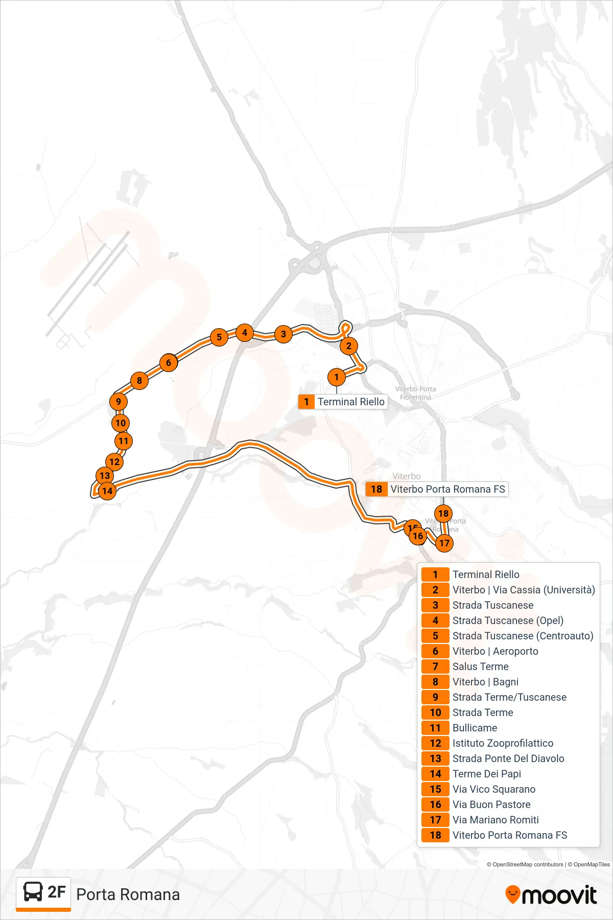
Stops list (2F - Roman Gate)
- Riello Terminal
- Viterbo | Via Cassia (University)
- Tuscanese Road
- Tuscanese Road (Opel)
- Tuscanese Road (Centroauto)
- Viterbo | Airport
- Salus Thermal Baths
- Viterbo | Baths
- Terme Road/Tuscanese
- Thermal Road
- Bullicame
- Zooprophylactic Institute
- Devil's Bridge Road
- Terme Dei Papi
- Vico Squarano Street
- Good Shepherd Street
- Mariano Romiti Street
- Viterbo Porta Romana Station