
30 Bus Route Map
View the 30 route map and see all 30 stops along the route. The map of 30 shows where the bus travels and the location of each stop, making it easy to understand the entire route at a glance.
Explore De Lijn routes on the map and see where De Lijn bus services operate. Use the 30 map to find bus stops and see how the 30 connects different areas along its trip.
All 30 stops on the map are displayed in route order, helping you follow the 30 bus from the first stop to the last.
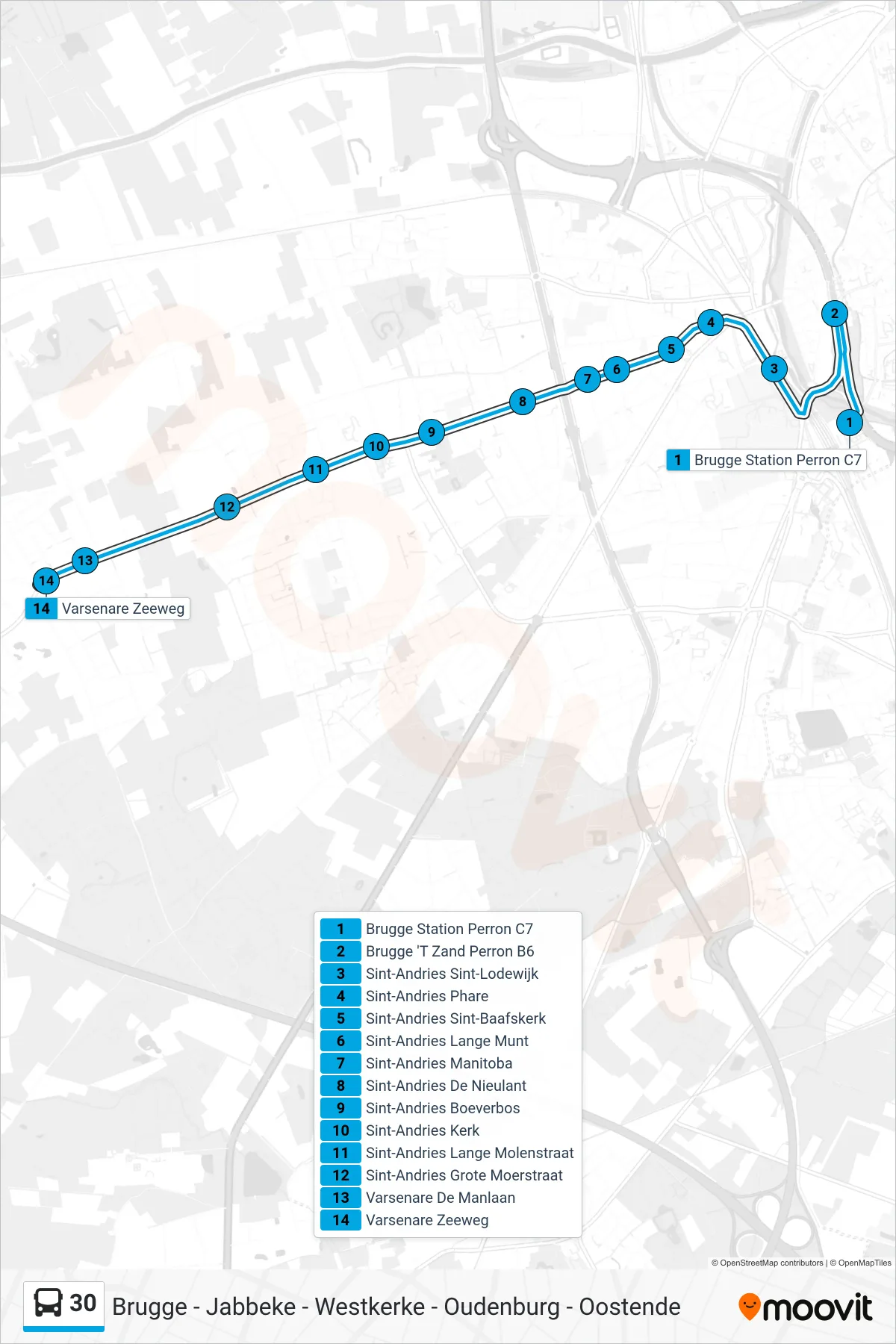
Stops list (30 - Varsenare Sea Road)
- Bruges Station Platform C7
- Bruges 't Zand Platform B6
- Sint-Andries Saint Louis
- Sint-Andries Lighthouse
- Saint-Andries Saint Bavo Church
- Sint-Andries Long Mint
- Saint Andrews Manitoba
- Sint-Andries De Nieulant
- Sint-Andries Boeverbos
- Sint-Andries Church
- Sint-Andries Long Mill Street
- Sint-Andries Great Moor Street
- Varsenare De Man Avenue
- Varsenare Sea Road