
30 Bus Route Map
View the 30 route map and see all 30 stops along the route. The map of 30 shows where the bus travels and the location of each stop, making it easy to understand the entire route at a glance.
Explore LeeTran routes on the map and see where LeeTran bus services operate. Use the 30 map to find bus stops and see how the 30 connects different areas along its trip.
All 30 stops on the map are displayed in route order, helping you follow the 30 bus from the first stop to the last.
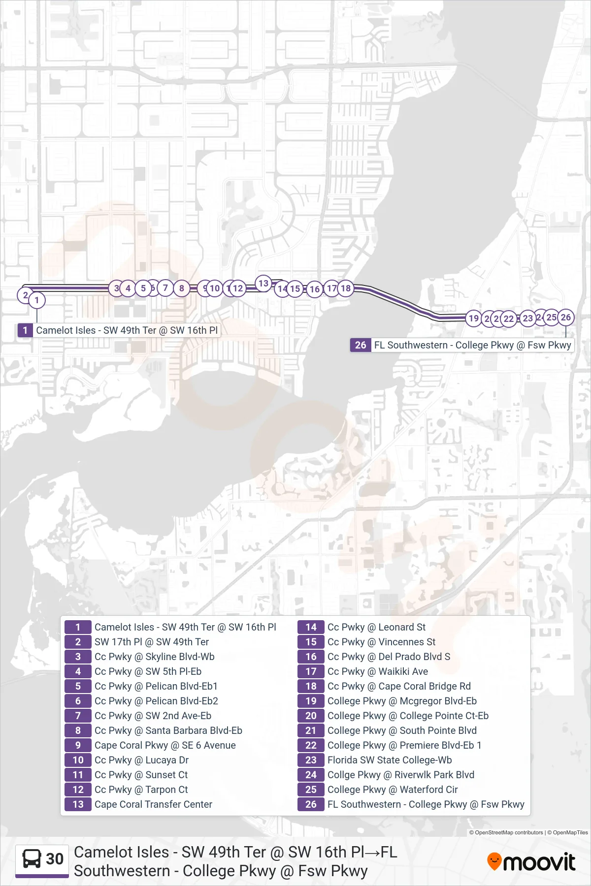
Stops list (30 - Camelot Isles - SW 49th Ter @ SW 16th Pl→FL Southwestern - College Pkwy @ Fsw Pkwy)
- Camelot Isles - SW 49th Ter @ SW 16th Pl
- SW 17th Pl @ SW 49th Ter
- Cc Pwky @ Skyline Blvd-Wb
- Cc Pwky @ SW 5th Pl-Eb
- Cc Pwky @ Pelican Blvd-Eb1
- Cc Pwky @ Pelican Blvd-Eb2
- Cc Pwky @ SW 2nd Ave-Eb
- Cc Pwky @ Santa Barbara Blvd-Eb
- Cape Coral Pkwy @ SE 6 Avenue
- Cc Pwky @ Lucaya Dr
- Cc Pwky @ Sunset Ct
- Cc Pwky @ Tarpon Ct
- Cape Coral Transfer Center
- Cc Pwky @ Leonard St
- Cc Pwky @ Vincennes St
- Cc Pwky @ Del Prado Blvd S
- Cc Pwky @ Waikiki Ave
- Cc Pwky @ Cape Coral Bridge Rd
- College Pkwy @ Mcgregor Blvd-Eb
- College Pkwy @ College Pointe Ct-Eb
- College Pkwy @ South Pointe Blvd
- College Pkwy @ Premiere Blvd-Eb 1
- Florida SW State College-Wb
- Collge Pkwy @ Riverwlk Park Blvd
- College Pkwy @ Waterford Cir
- FL Southwestern - College Pkwy @ Fsw Pkwy