
30 Bus Route Map
View the 30 route map and see all 30 stops along the route. The map of 30 shows where the bus travels and the location of each stop, making it easy to understand the entire route at a glance.
Explore Rīgas satiksme routes on the map and see where Rīgas satiksme bus services operate. Use the 30 map to find bus stops and see how the 30 connects different areas along its trip.
All 30 stops on the map are displayed in route order, helping you follow the 30 bus from the first stop to the last.
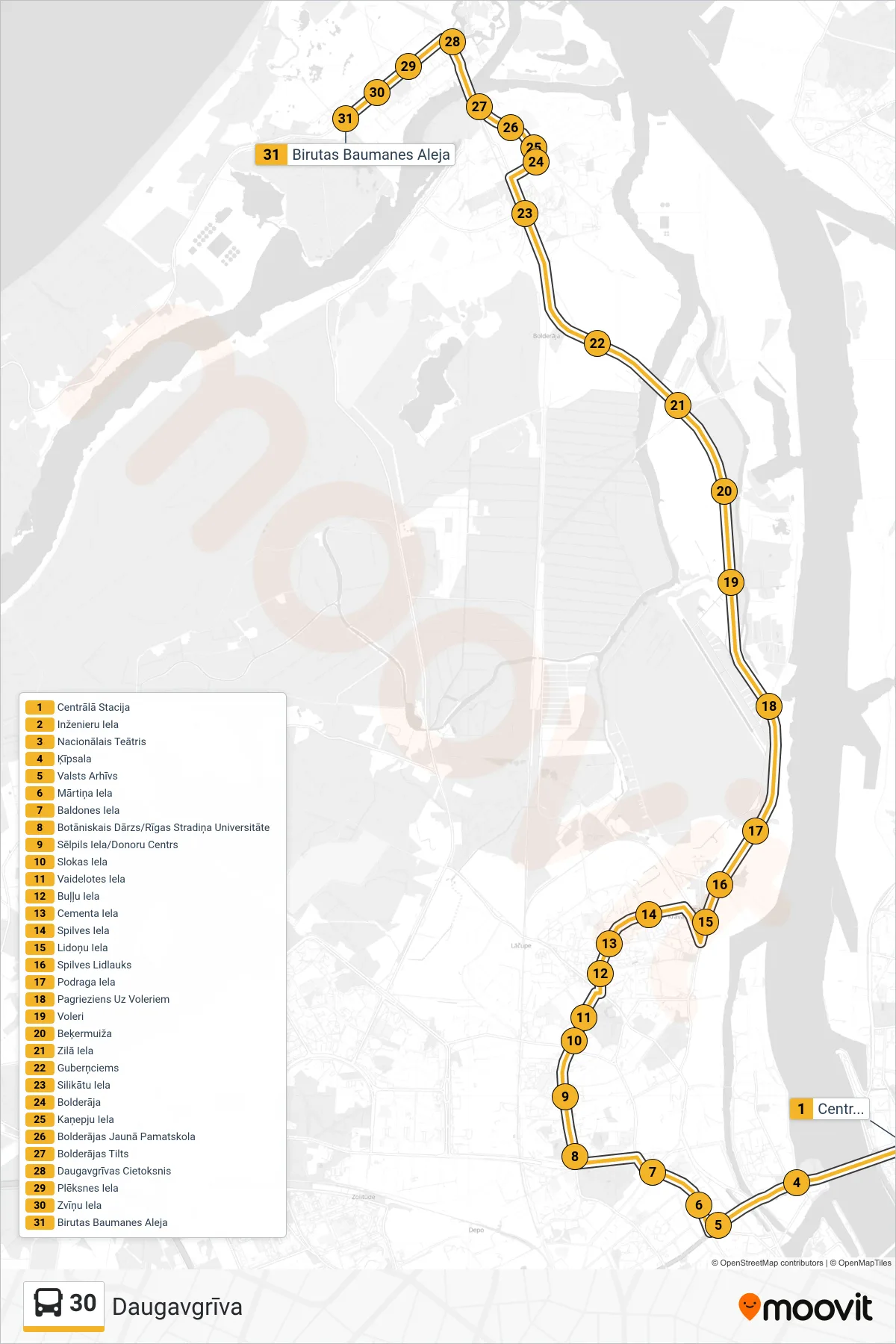
Stops list (30 - Daugavgrīva)
- Centrālā Stacija
- Inženieru Iela
- Nacionālais Teātris
- Ķīpsala
- Valsts Arhīvs
- Mārtiņa Iela
- Baldones Iela
- Botāniskais Dārzs/Rīgas Stradiņa Universitāte
- Sēlpils Iela/Donoru Centrs
- Slokas Iela
- Vaidelotes Iela
- Buļļu Iela
- Cementa Iela
- Spilves Iela
- Lidoņu Iela
- Spilves Lidlauks
- Podraga Iela
- Pagrieziens Uz Voleriem
- Voleri
- Beķermuiža
- Zilā Iela
- Guberņciems
- Silikātu Iela
- Bolderāja
- Kaņepju Iela
- Bolderājas Jaunā Pamatskola
- Bolderājas Tilts
- Daugavgrīvas Cietoksnis
- Plēksnes Iela
- Zvīņu Iela
- Birutas Baumanes Aleja