
306 Bus Route Map
View the 306 route map and see all 306 stops along the route. The map of 306 shows where the bus travels and the location of each stop, making it easy to understand the entire route at a glance.
Explore Verkehrsbetriebe Mittelrhein VREM routes on the map and see where Verkehrsbetriebe Mittelrhein VREM bus services operate. Use the 306 map to find bus stops and see how the 306 connects different areas along its trip.
All 306 stops on the map are displayed in route order, helping you follow the 306 bus from the first stop to the last.
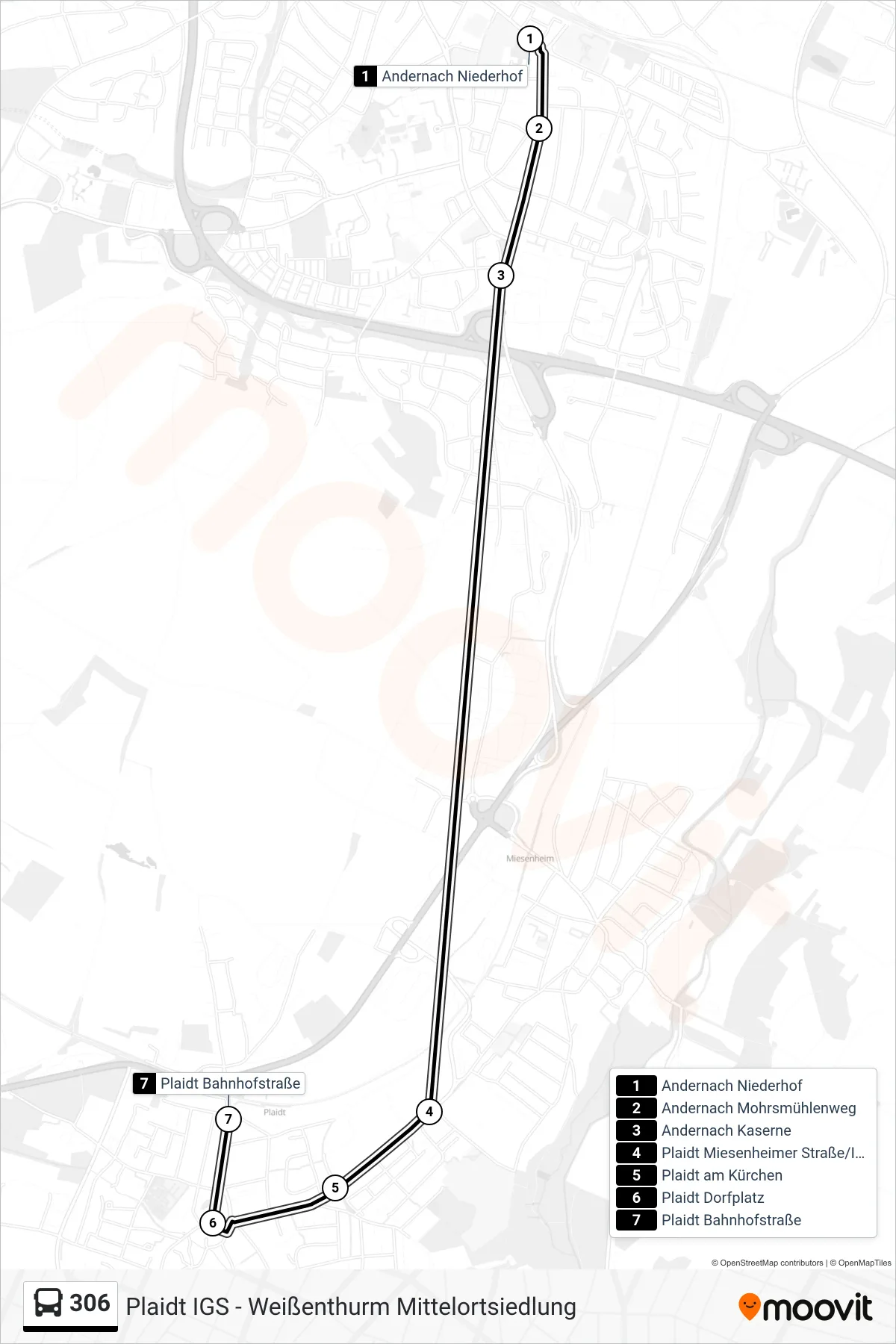
Stops list (306 - Plaidt Bahnhofstraße)
- Andernach Niederhof
- Andernach Mohrsmühlenweg
- Andernach Kaserne
- Plaidt Miesenheimer Straße/Igs
- Plaidt am Kürchen
- Plaidt Dorfplatz
- Plaidt Bahnhofstraße
Change direction
- Route Map - 306 - Andernach Bahnhof
- Route Map - 306 - Plaidt Nettebrücke
- Route Map - 306 - Andernach Hallenbad
- Route Map - 306 - Plaidt Dorfplatz
- Route Map - 306 - Kruft Tubag-Allee
- Route Map - 306 - Andernach Niederhof
- Route Map - 306 - Plaidt Igs
- Route Map - 306 - Andernach Bahnhof/Breite Straße
- Route Map - 306 - Kruft Waldstraße
- Route Map - 306 - Andernach Koblenzer Straße
- Route Map - 306 - Andernach Friedhof
- Route Map - 306 - Weißenthurm Mittelortsiedlung
- Route Map - 306 - Andernach Miesenheim Friedhof