
308 Light Rail Route Map
View the 308 route map and see all 308 stops along the route. The map of 308 shows where the light rail travels and the location of each stop, making it easy to understand the entire route at a glance.
Explore BOGESTRA STRAB routes on the map and see where BOGESTRA STRAB light rail services operate. Use the 308 map to find light rail stations and see how the 308 connects different areas along its trip.
All 308 stops on the map are displayed in route order, helping you follow the 308 light rail from the first station to the last.
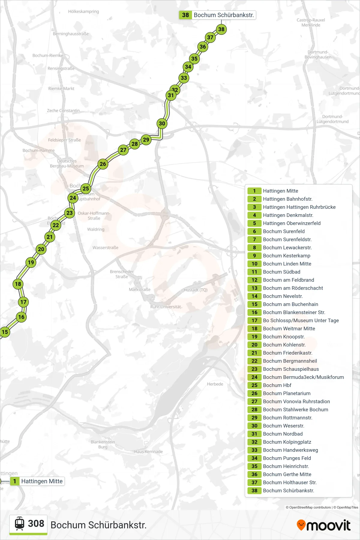
Stops list (308 - Bochum Schürbankstr.)
- Hattingen Mitte
- Hattingen Bahnhofstr.
- Hattingen Hattingen Ruhrbrücke
- Hattingen Denkmalstr.
- Hattingen Oberwinzerfeld
- Bochum Surenfeld
- Bochum Surenfeldstr.
- Bochum Lewackerstr.
- Bochum Kesterkamp
- Bochum Linden Mitte
- Bochum Südbad
- Bochum am Feldbrand
- Bochum am Röderschacht
- Bochum Nevelstr.
- Bochum am Buchenhain
- Bochum Blankensteiner Str.
- Bo Schlossp/Museum Unter Tage
- Bochum Weitmar Mitte
- Bochum Knoopstr.
- Bochum Kohlenstr.
- Bochum Friederikastr.
- Bochum Bergmannsheil
- Bochum Schauspielhaus
- Bochum Bermuda3eck/Musikforum
- Bochum Hbf
- Bochum Planetarium
- Bochum Vonovia Ruhrstadion
- Bochum Stahlwerke Bochum
- Bochum Rottmannstr.
- Bochum Weserstr.
- Bochum Nordbad
- Bochum Kolpingplatz
- Bochum Handwerksweg
- Bochum Punges Feld
- Bochum Heinrichstr.
- Bochum Gerthe Mitte
- Bochum Holthauser Str.
- Bochum Schürbankstr.