
31 Bus Route Map
View the 31 route map and see all 31 stops along the route. The map of 31 shows where the bus travels and the location of each stop, making it easy to understand the entire route at a glance.
Explore DASH - Alexandria routes on the map and see where DASH - Alexandria bus services operate. Use the 31 map to find bus stops and see how the 31 connects different areas along its trip.
All 31 stops on the map are displayed in route order, helping you follow the 31 bus from the first stop to the last.
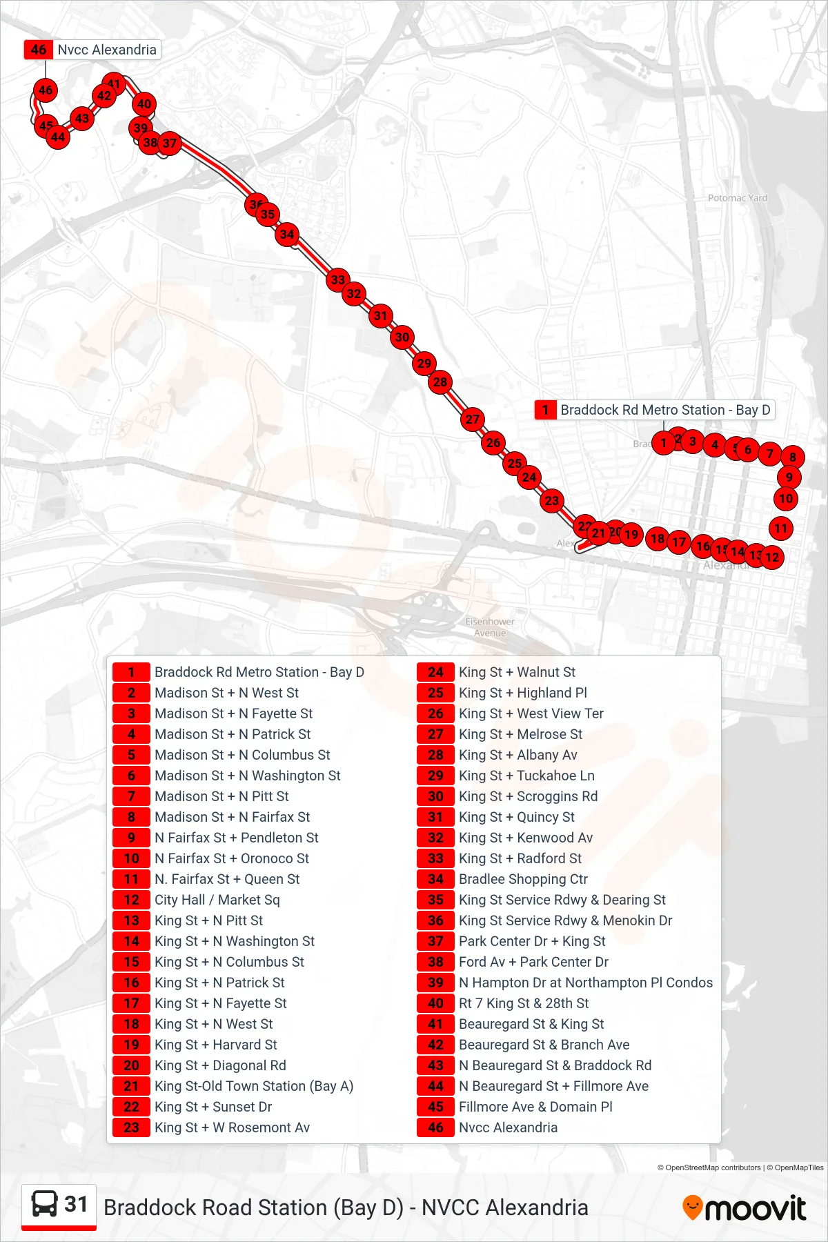
Stops list (31 - Nvcc Alexandria)
- Braddock Rd Metro Station - Bay D
- Madison St + N West St
- Madison St + N Fayette St
- Madison St + N Patrick St
- Madison St + N Columbus St
- Madison St + N Washington St
- Madison St + N Pitt St
- Madison St + N Fairfax St
- N Fairfax St + Pendleton St
- N Fairfax St + Oronoco St
- N. Fairfax St + Queen St
- City Hall / Market Sq
- King St + N Pitt St
- King St + N Washington St
- King St + N Columbus St
- King St + N Patrick St
- King St + N Fayette St
- King St + N West St
- King St + Harvard St
- King St + Diagonal Rd
- King St-Old Town Station (Bay A)
- King St + Sunset Dr
- King St + W Rosemont Av
- King St + Walnut St
- King St + Highland Pl
- King St + West View Ter
- King St + Melrose St
- King St + Albany Av
- King St + Tuckahoe Ln
- King St + Scroggins Rd
- King St + Quincy St
- King St + Kenwood Av
- King St + Radford St
- Bradlee Shopping Ctr
- King St Service Rdwy & Dearing St
- King St Service Rdwy & Menokin Dr
- Park Center Dr + King St
- Ford Av + Park Center Dr
- N Hampton Dr at Northampton Pl Condos
- Rt 7 King St & 28th St
- Beauregard St & King St
- Beauregard St & Branch Ave
- N Beauregard St & Braddock Rd
- N Beauregard St + Fillmore Ave
- Fillmore Ave & Domain Pl
- Nvcc Alexandria