
310 Bus Route Map
View the 310 route map and see all 310 stops along the route. The map of 310 shows where the bus travels and the location of each stop, making it easy to understand the entire route at a glance.
Explore Verkehrsbetriebe Mittelrhein VREM routes on the map and see where Verkehrsbetriebe Mittelrhein VREM bus services operate. Use the 310 map to find bus stops and see how the 310 connects different areas along its trip.
All 310 stops on the map are displayed in route order, helping you follow the 310 bus from the first stop to the last.
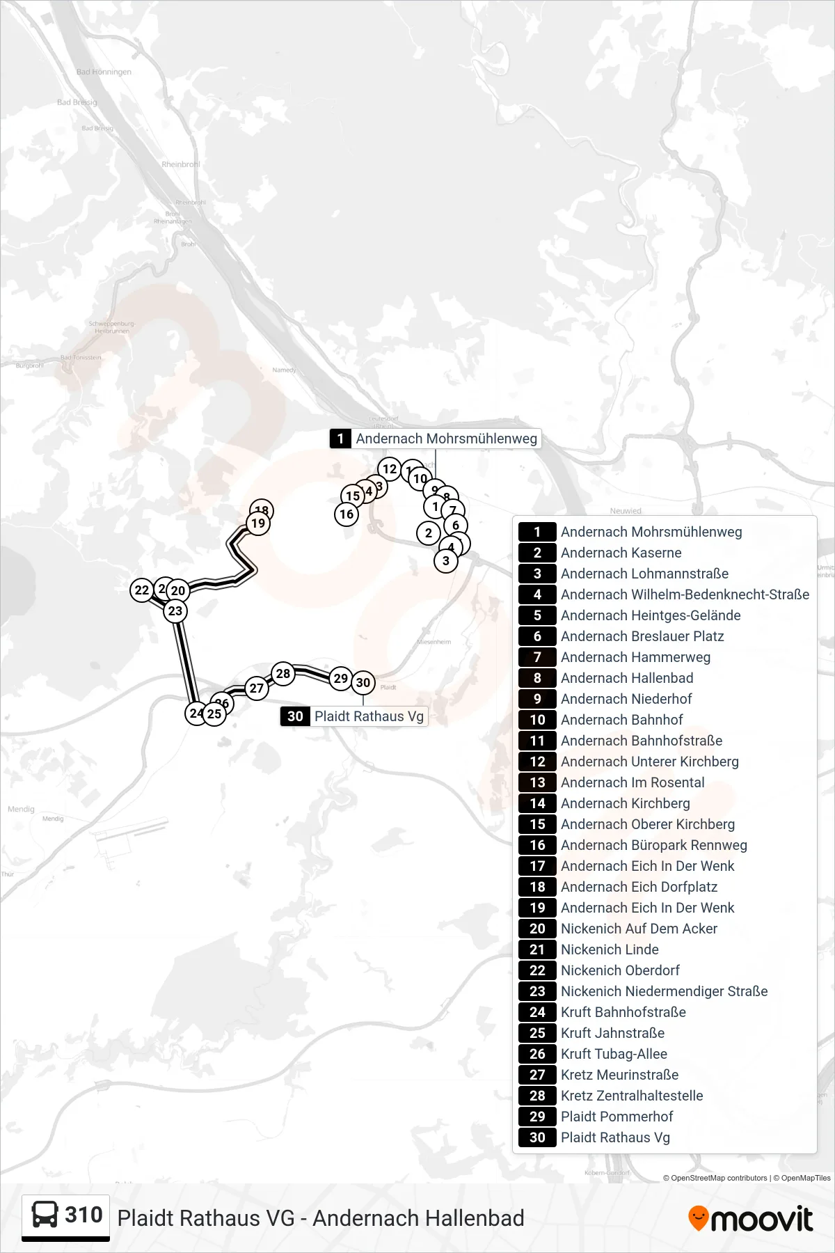
Stops list (310 - Plaidt Rathaus Vg)
- Andernach Mohrsmühlenweg
- Andernach Kaserne
- Andernach Lohmannstraße
- Andernach Wilhelm-Bedenknecht-Straße
- Andernach Heintges-Gelände
- Andernach Breslauer Platz
- Andernach Hammerweg
- Andernach Hallenbad
- Andernach Niederhof
- Andernach Bahnhof
- Andernach Bahnhofstraße
- Andernach Unterer Kirchberg
- Andernach Im Rosental
- Andernach Kirchberg
- Andernach Oberer Kirchberg
- Andernach Büropark Rennweg
- Andernach Eich In Der Wenk
- Andernach Eich Dorfplatz
- Andernach Eich In Der Wenk
- Nickenich Auf Dem Acker
- Nickenich Linde
- Nickenich Oberdorf
- Nickenich Niedermendiger Straße
- Kruft Bahnhofstraße
- Kruft Jahnstraße
- Kruft Tubag-Allee
- Kretz Meurinstraße
- Kretz Zentralhaltestelle
- Plaidt Pommerhof
- Plaidt Rathaus Vg